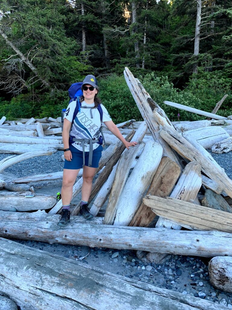
July 25-30 2021
Here’s the trail map overview.
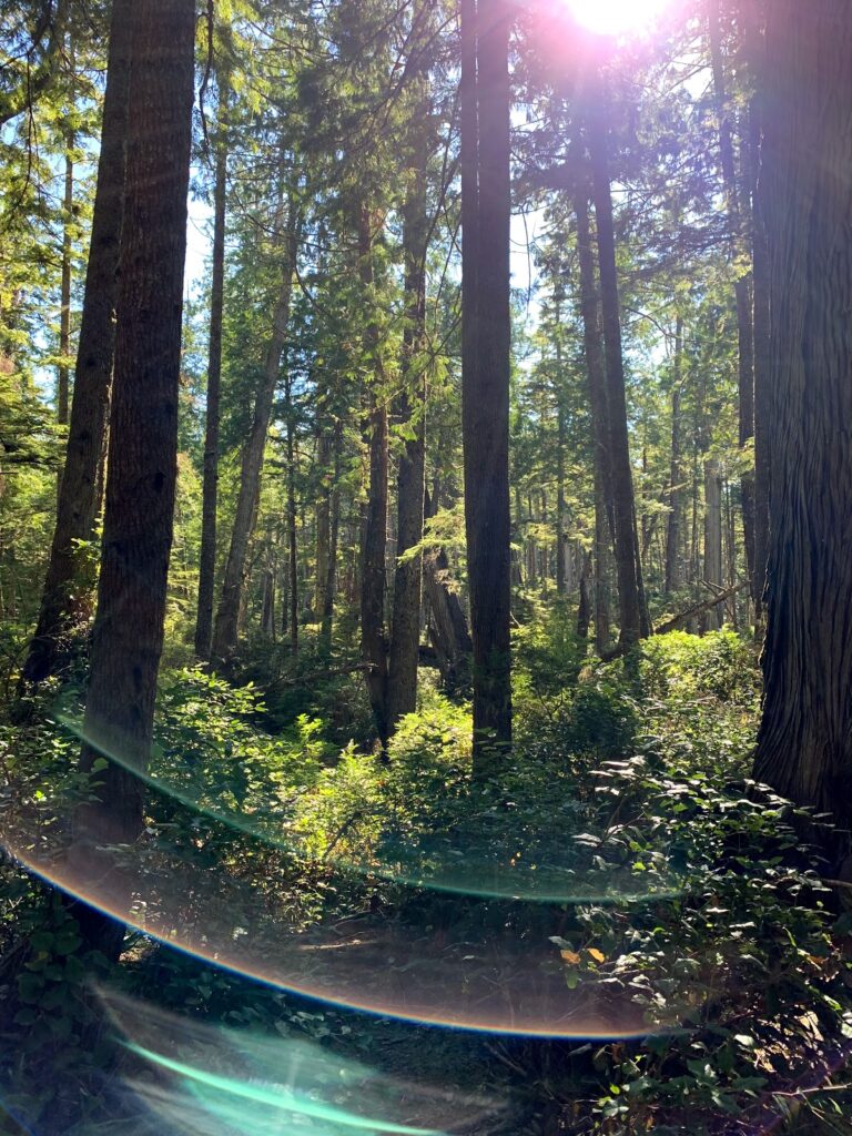
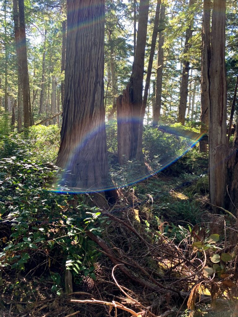
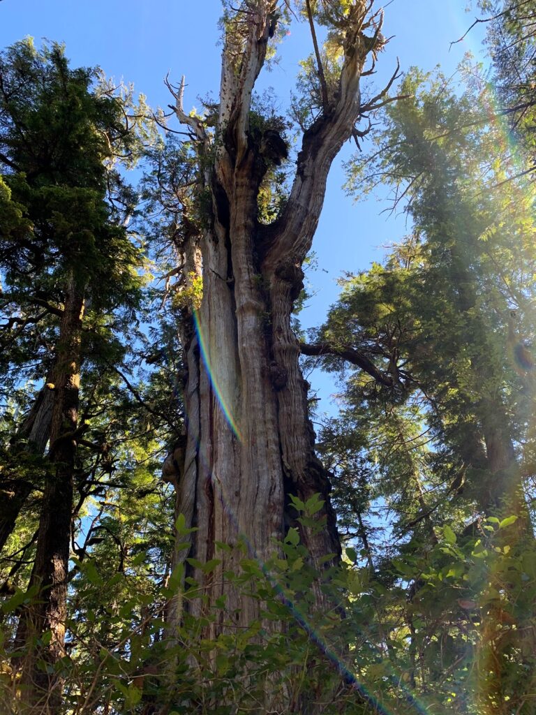
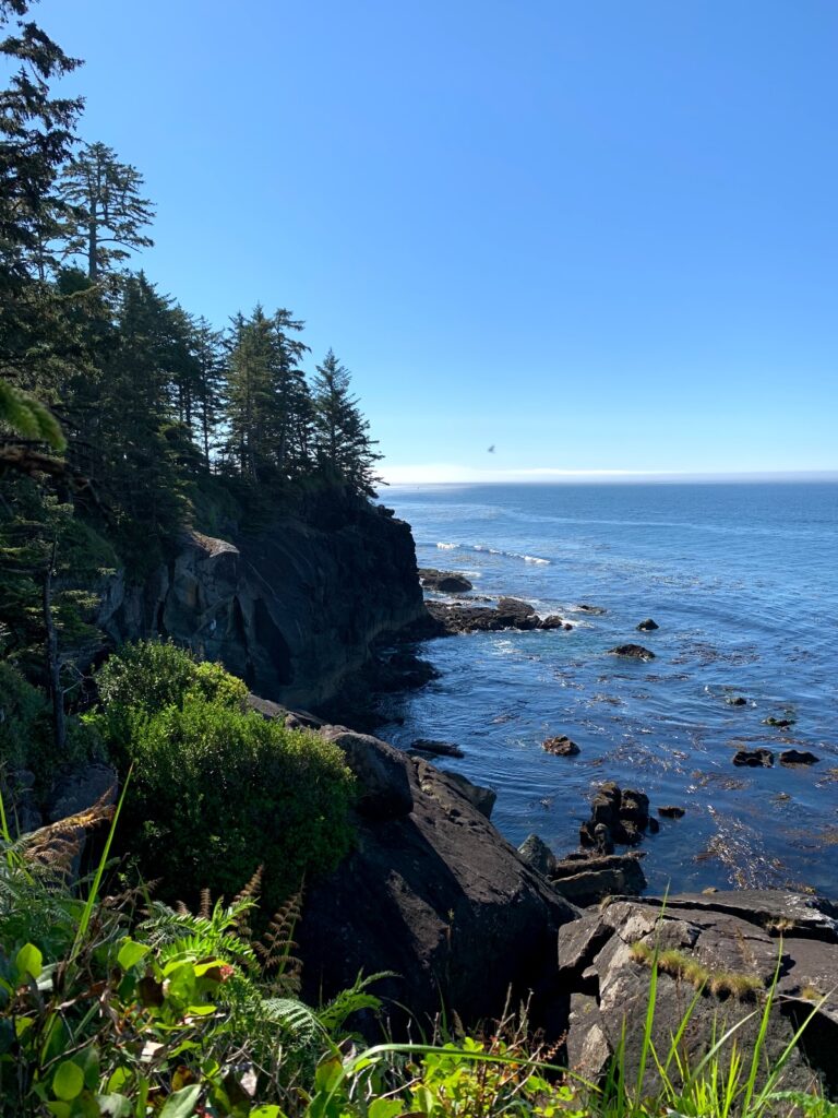
This trail passes through the traditional lands of the Mowachaht First Nations
July 25 Journey to Gold River
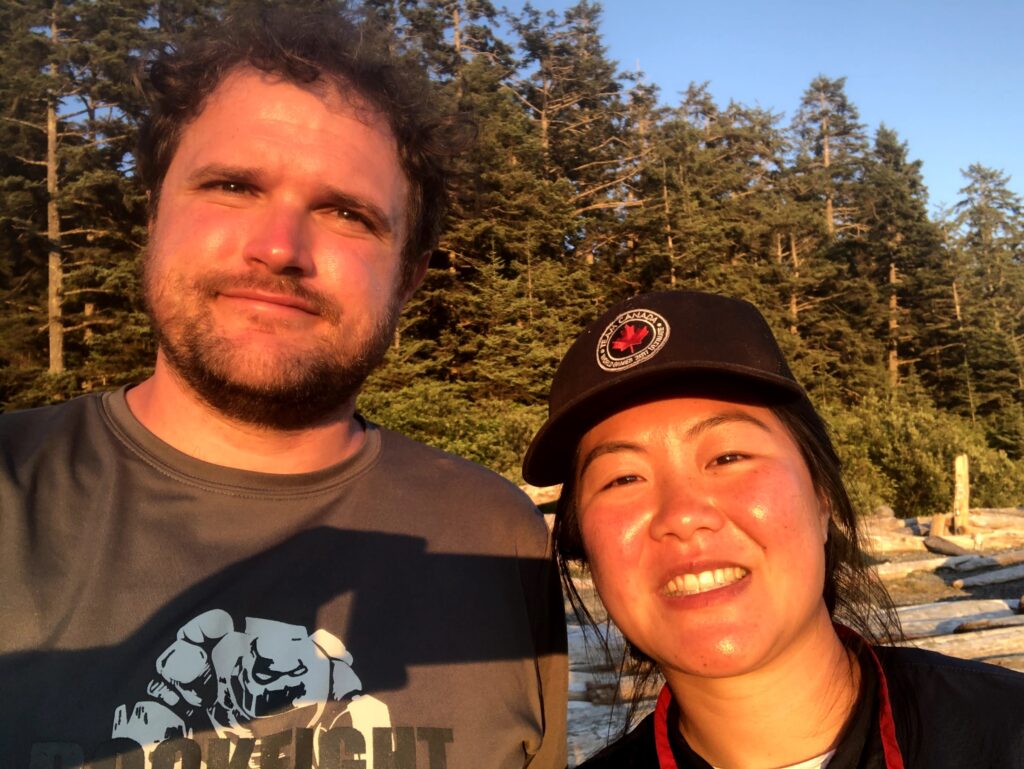
Met our friends in Gold River and stayed the night at the Gold River Chalet to re-organize. We choose Gold River Chalet as they had a simple continental breakfast.
Priro to reaching Gold River we had dinner and finished our last big grocery shop in Campell River. Most things in Gold River Close early and there aren’t many options around. To give you a perspective the current population 1,212 people.
July 26
Low tide 7am-noon
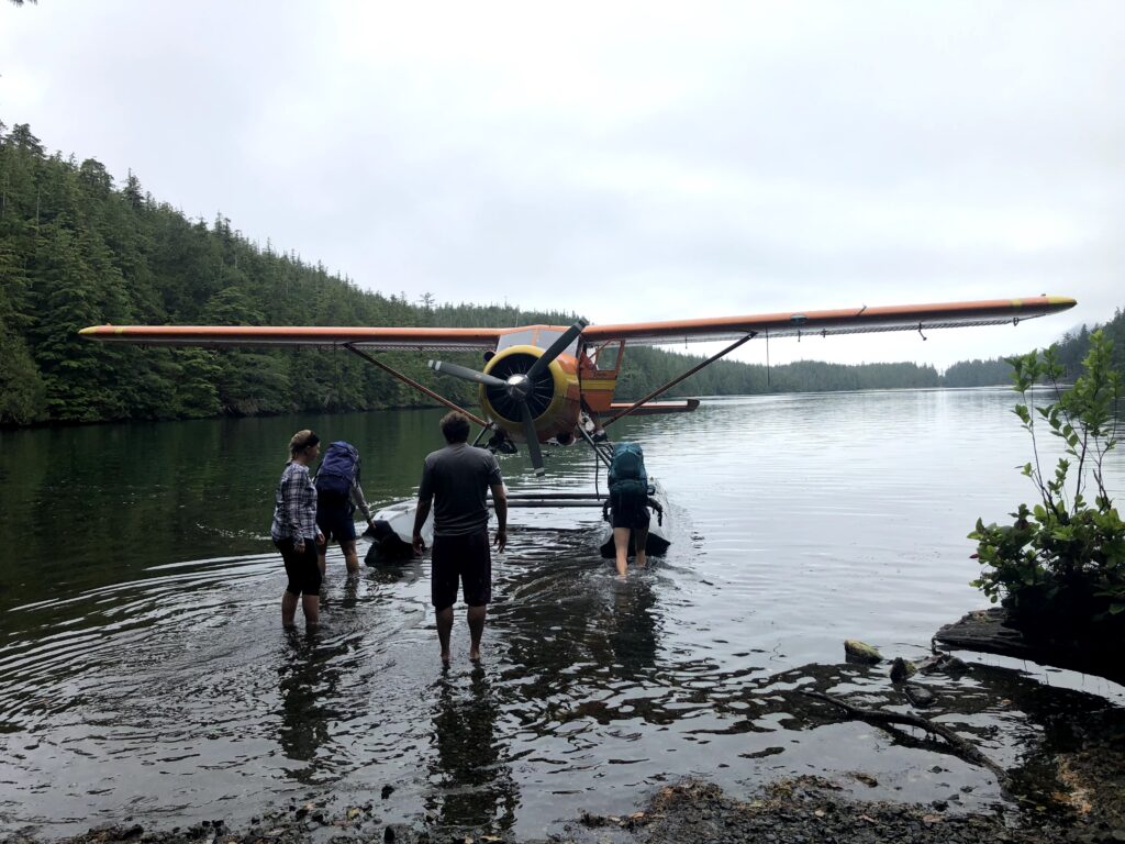
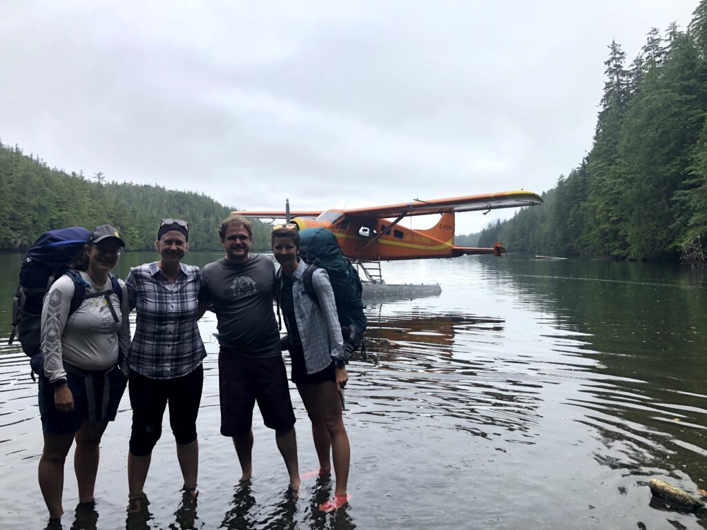
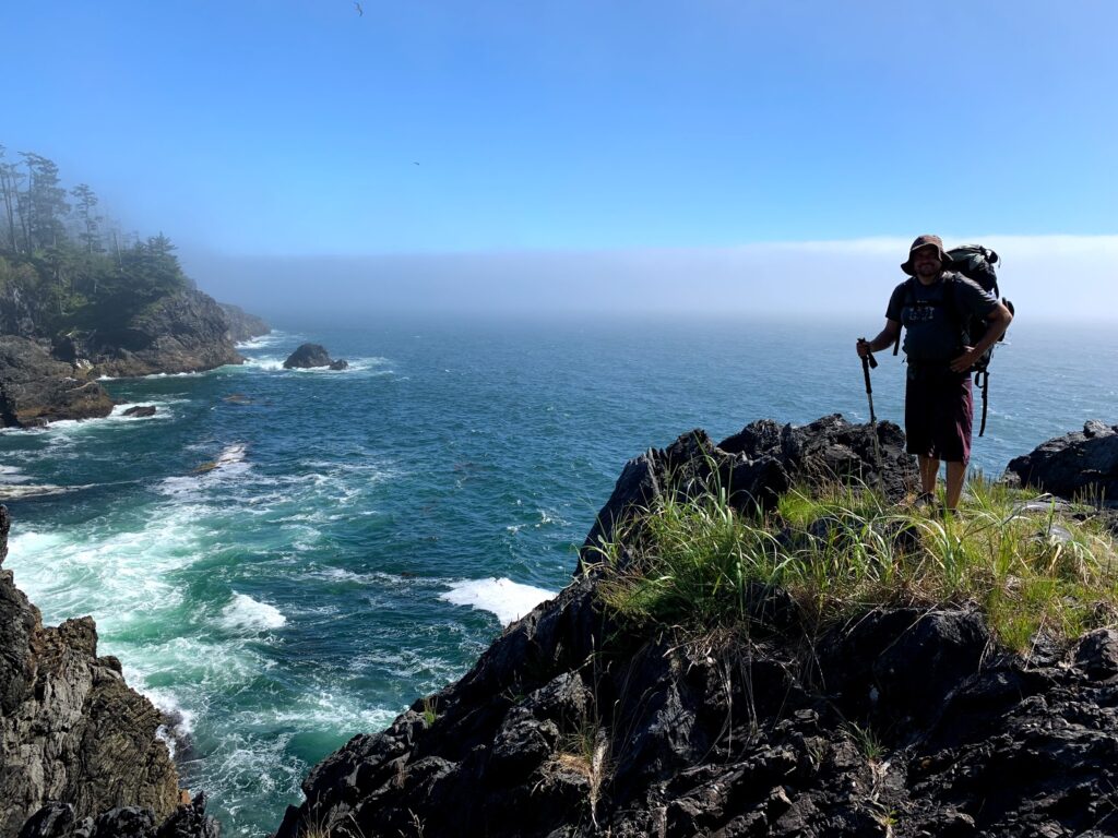
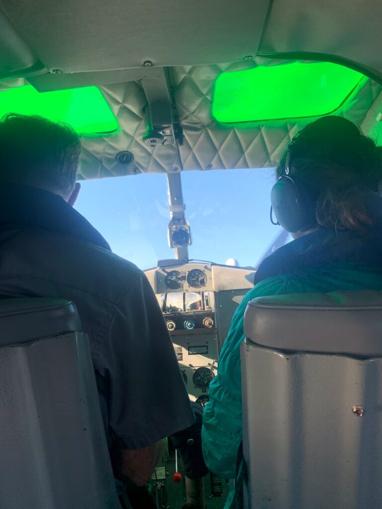
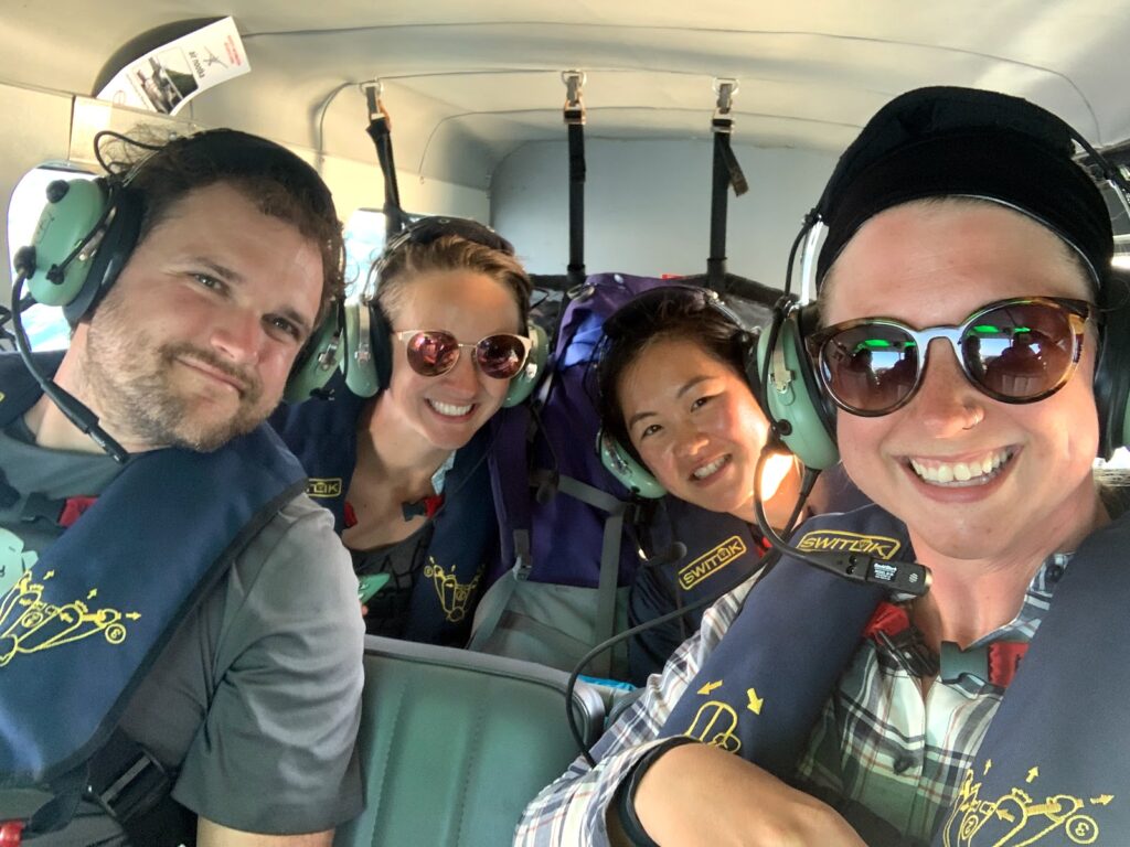
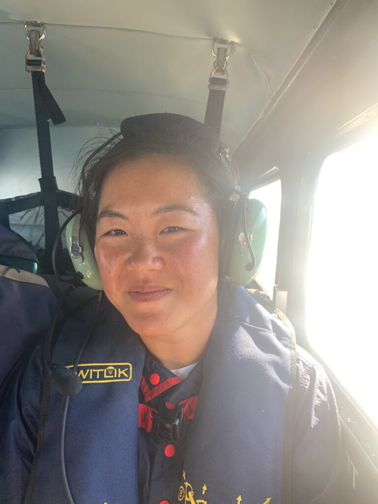
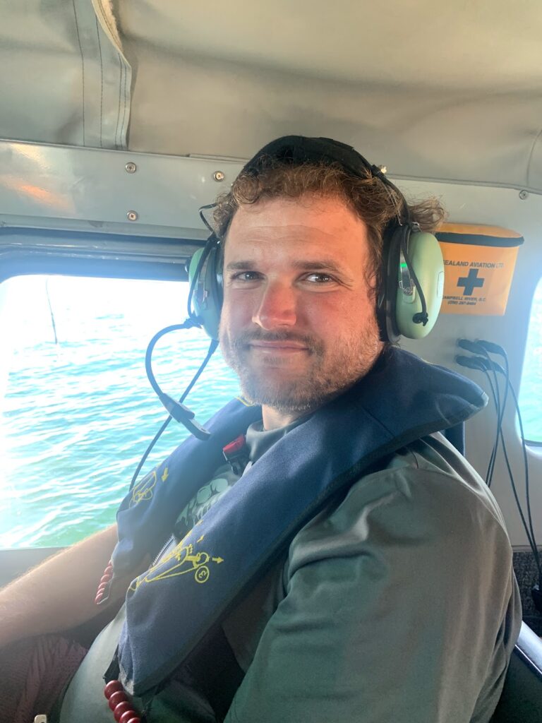
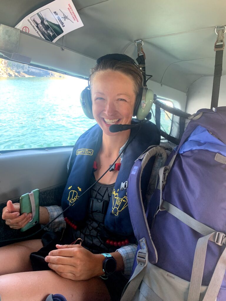
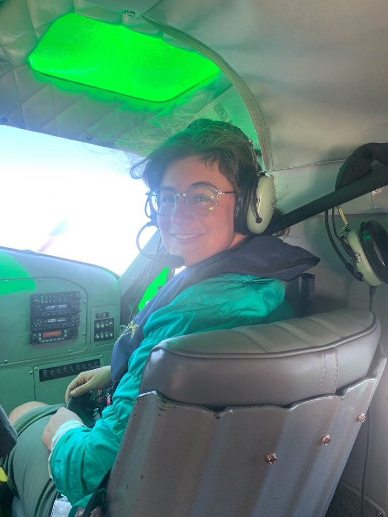
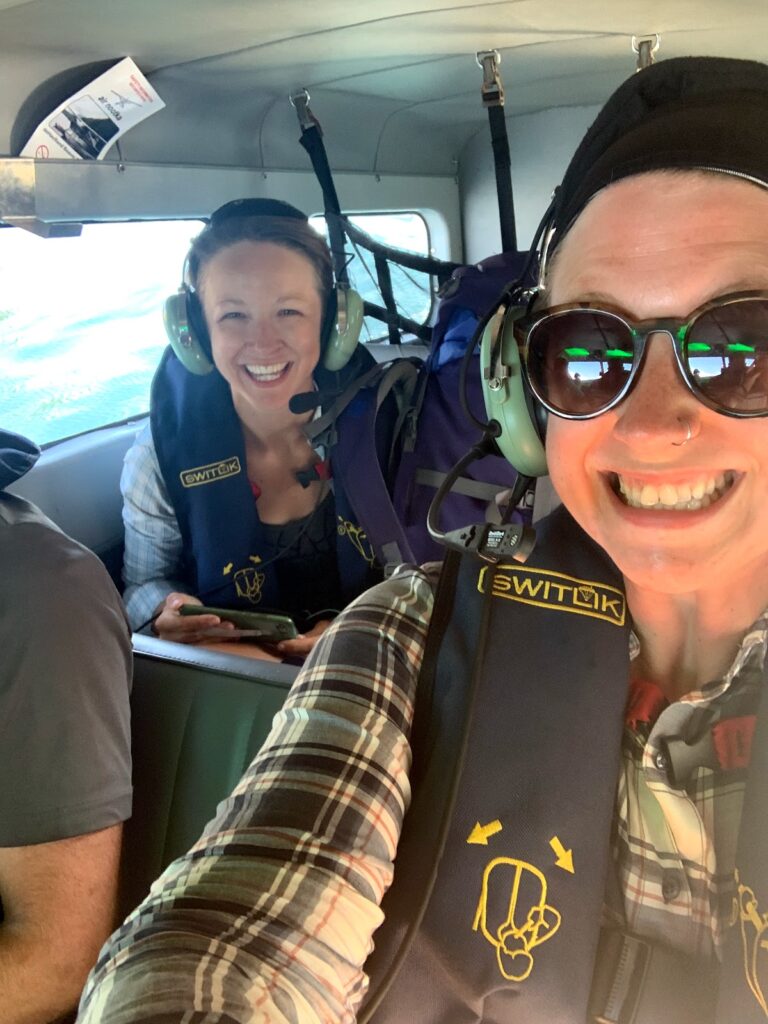
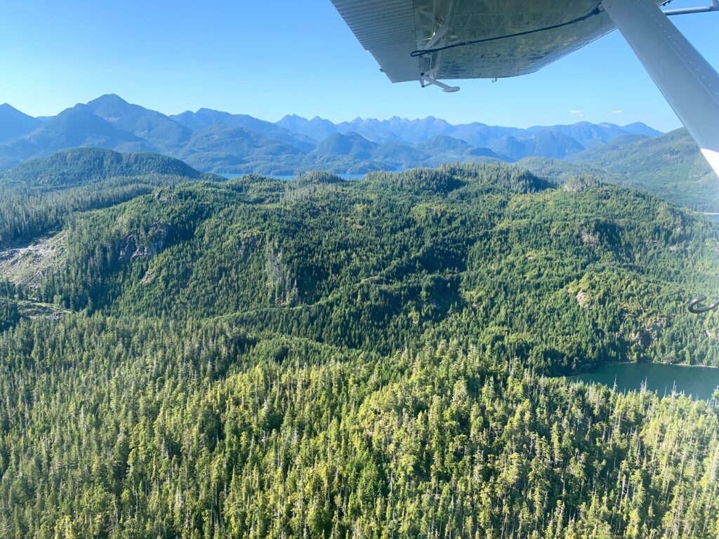
Arrived at Gold River boat launch to catch our 0825 float plane for Louie Bay. Which means we were going to hike north to south with Yuqot as our final destination.
Things to consider:
- There is minimal to non existent internet and cellular service in Gold River and none at the boat launch.
- You leave your car parked at the boat launch so take all your valuables
- You will be weighed with your luggage/hiking bag on a scale
- Take out items that may be explosive (bear and bug spray, batteries) and poles. These items will go with you in the maincabin?
- There are port-a-potties at the boat launch but can get busy as people also use them to board a large ship
- Starting in Louie Bay meant we missed the Ferrer Point Excursion to a Shipwreck
We took a small float plane appox $225pp that flew us over our trail and dropped us off in Louie Bay for a knee high water landing! Tie your hiking shoes to your bag or water your watershoes to get off the plane.
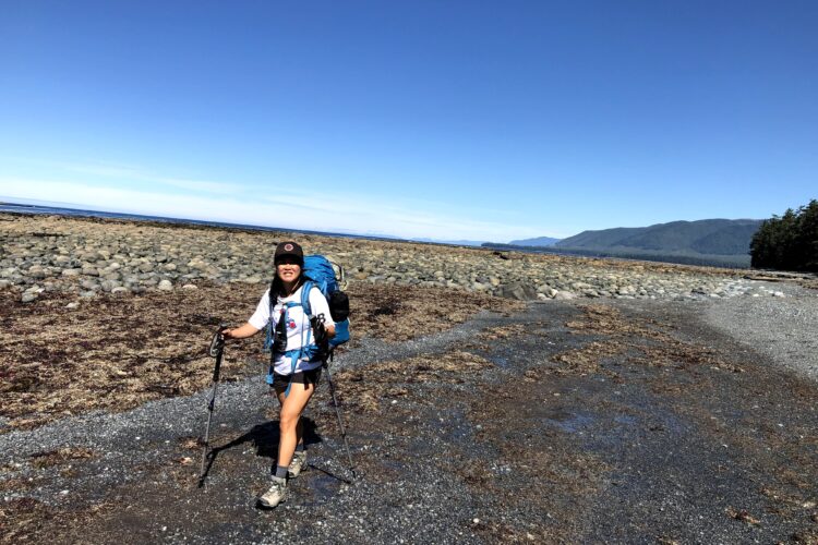
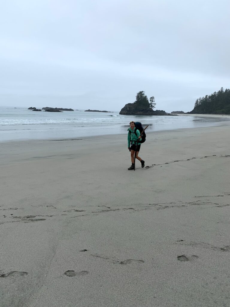
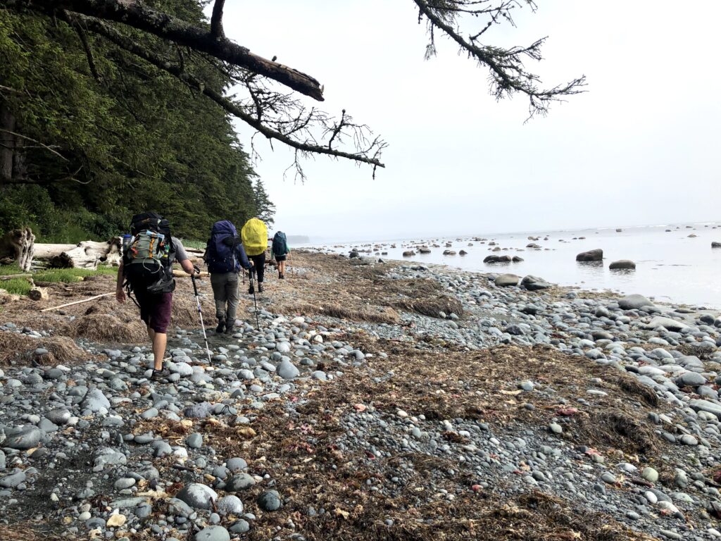
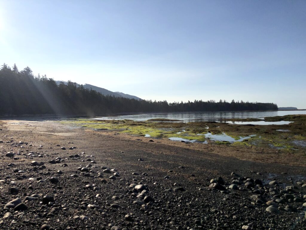
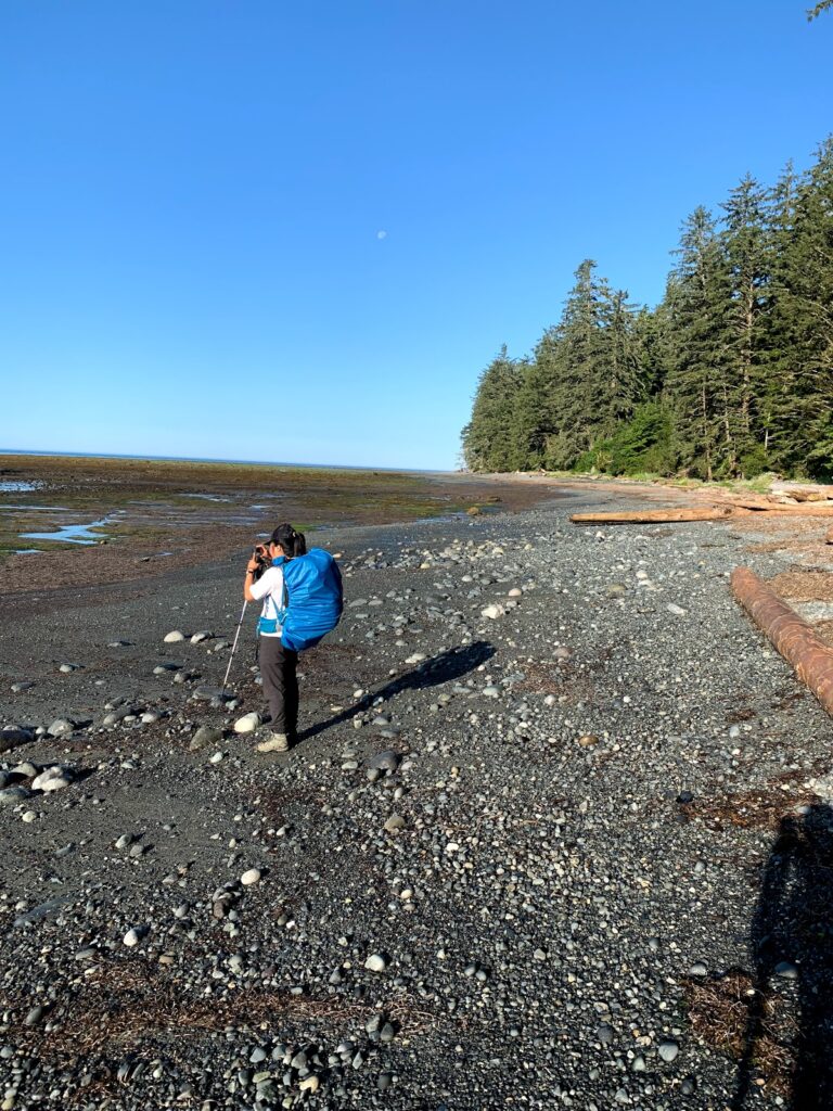
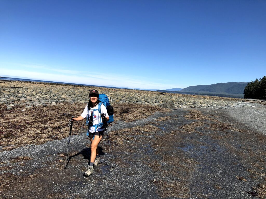
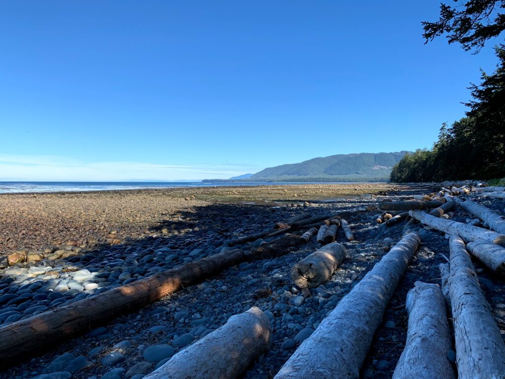
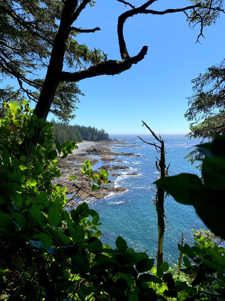
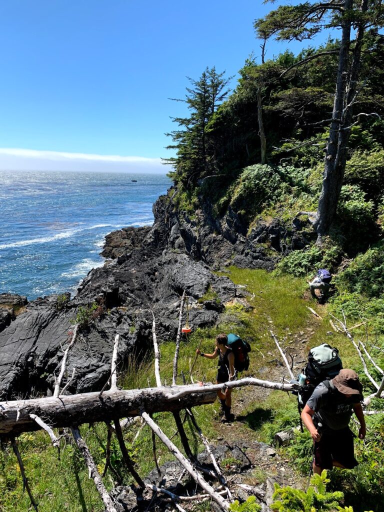
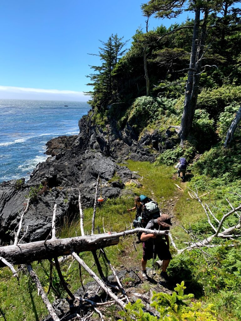
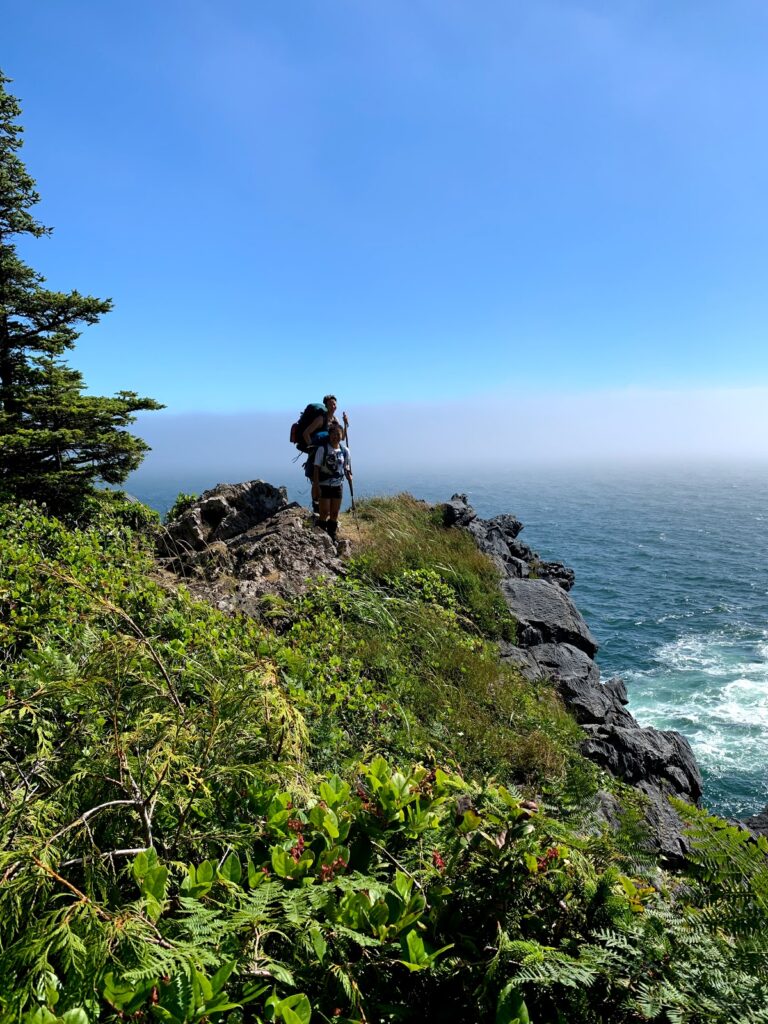
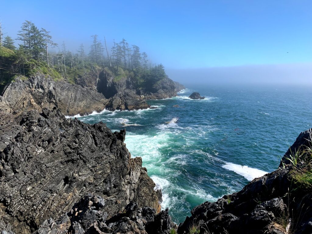
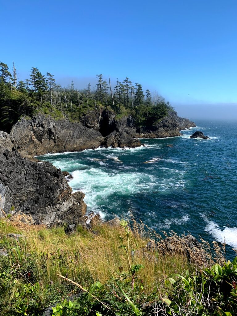
Louie Bay to Skuna Bay ~ 10 km
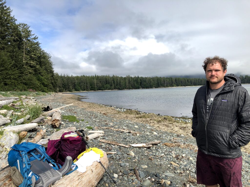
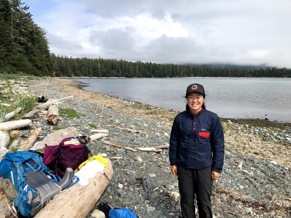
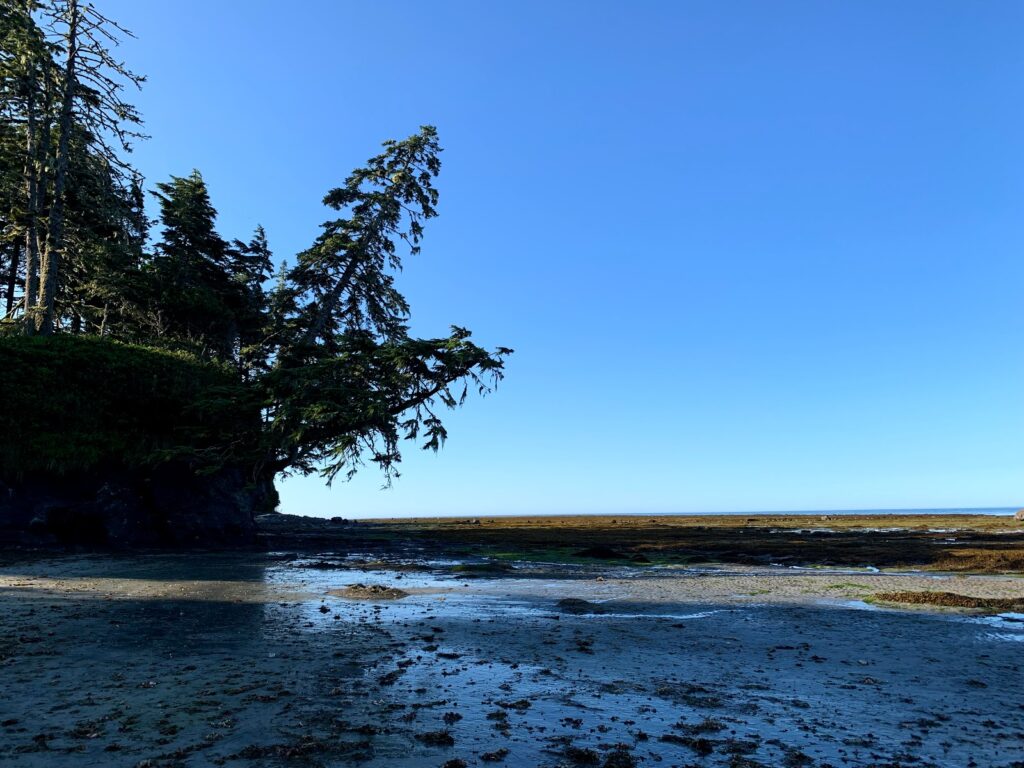
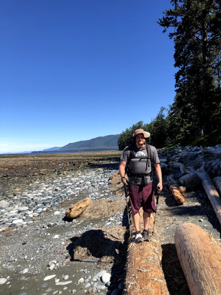
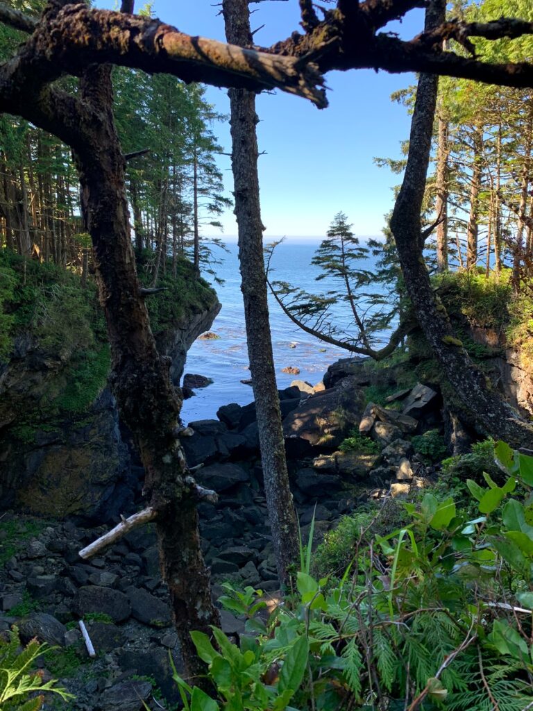
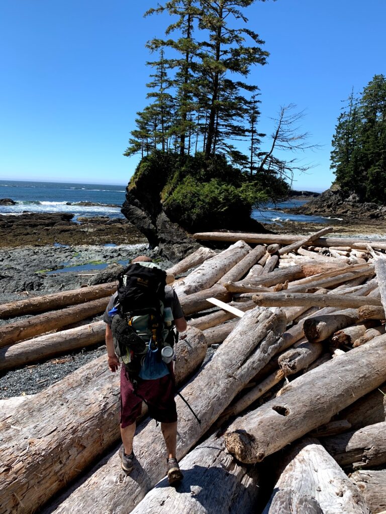
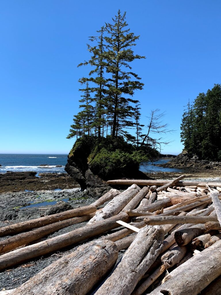
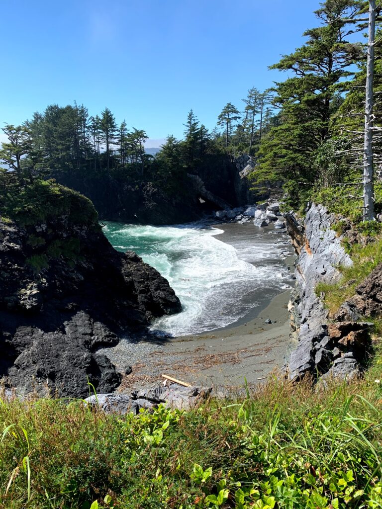
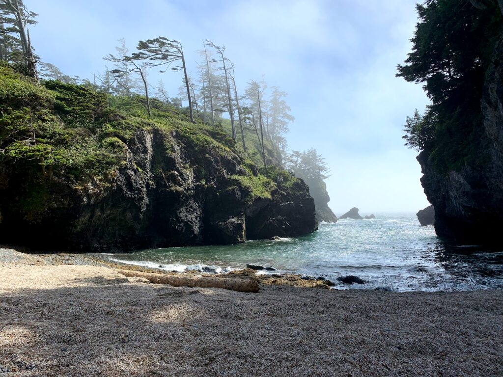
After gathering up all our belongings were were off! Louie Bay to First Beach took us about 30 mins over and under some rather large logs! At First Beach there was a creek to fill water.
Note: Would love the opprotunity to do this hike south to north as First Beach is beautiful and would love to camp here for the night.
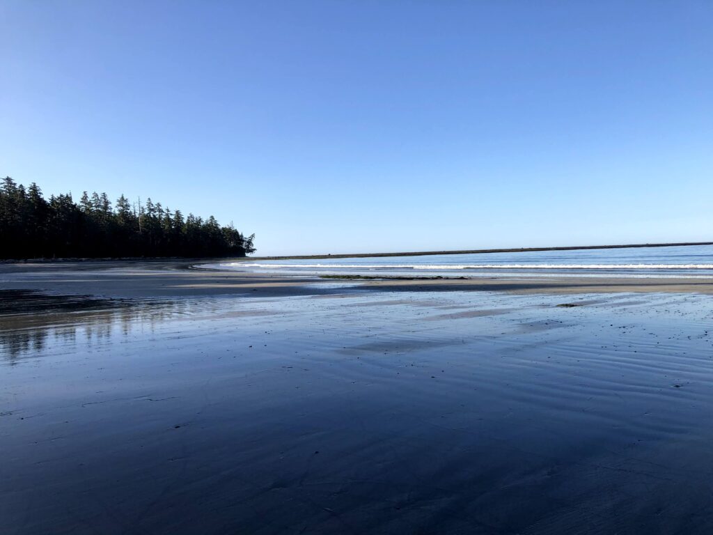
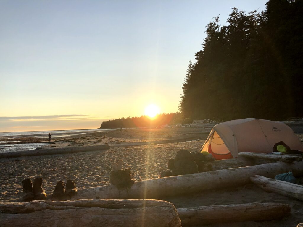
After a few hours of hiking we decided to stay the night at Skuna Bay as there was a water source on the north side of the Bay and the tide was impassable by now.
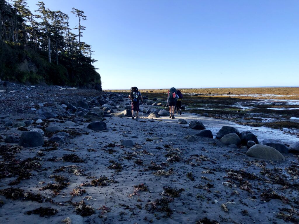
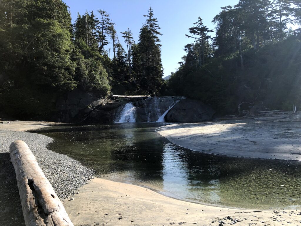
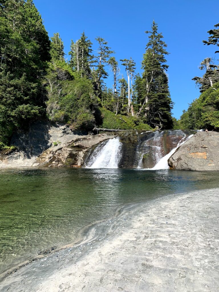
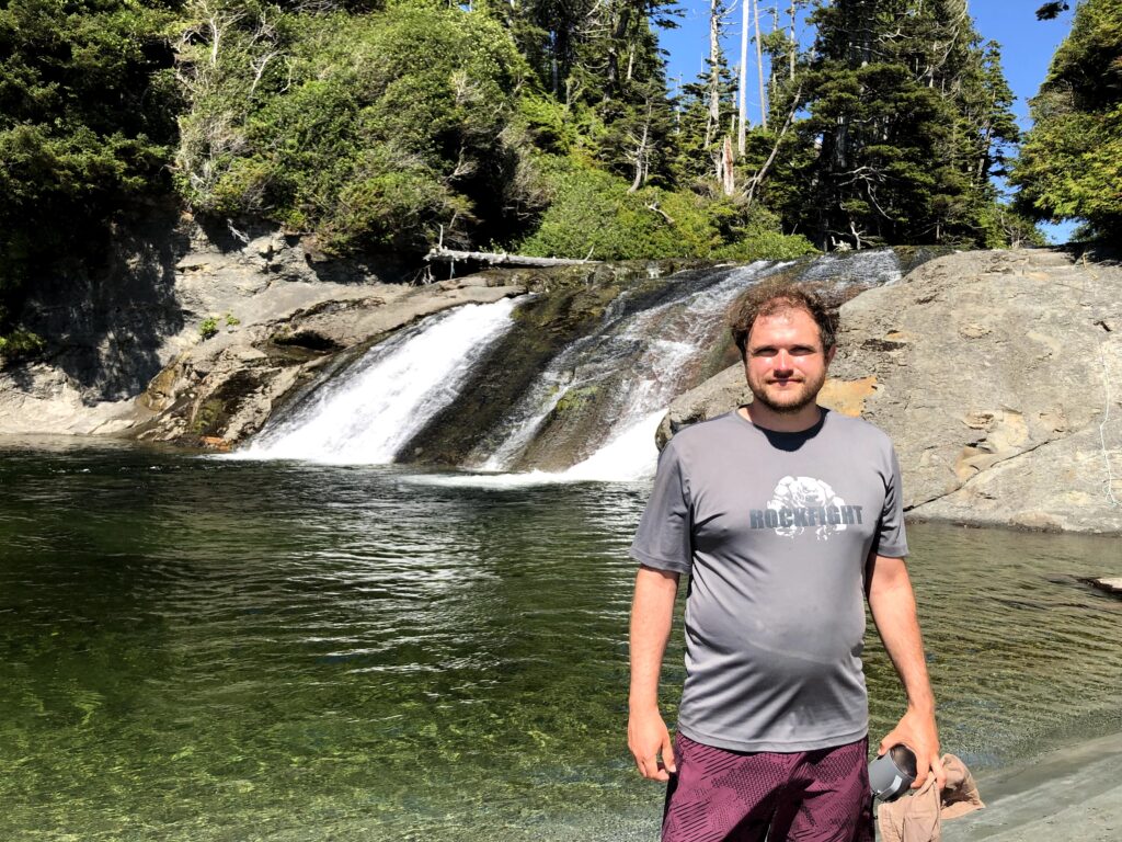
July 27 Skuna Bay to Calvin Falls ~ 13km.
Low tide 7am to 1pm
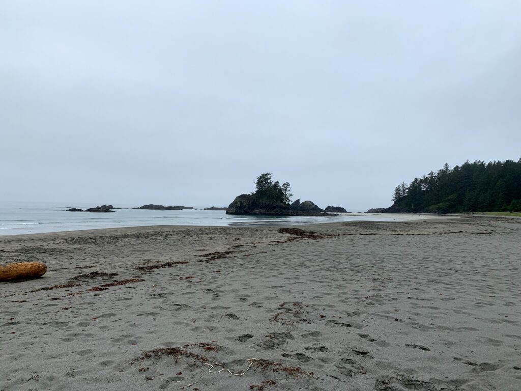
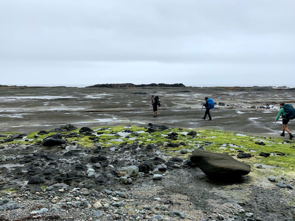
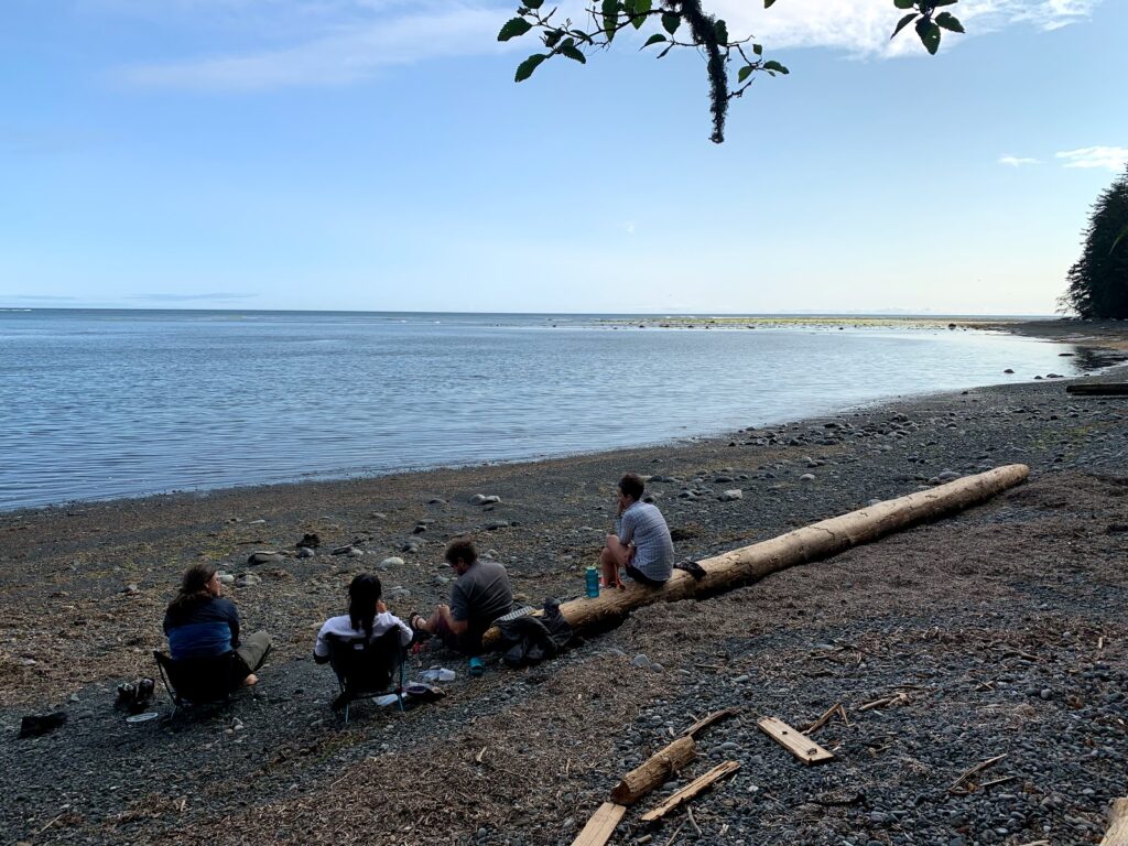
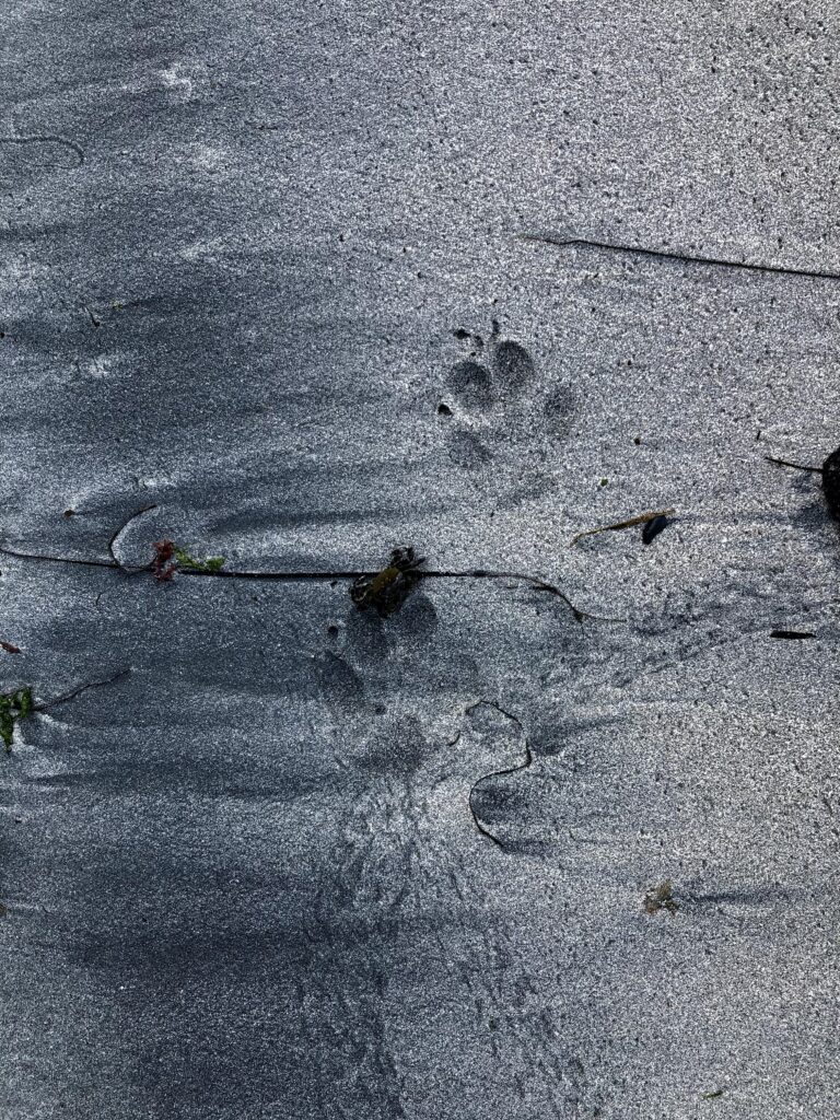
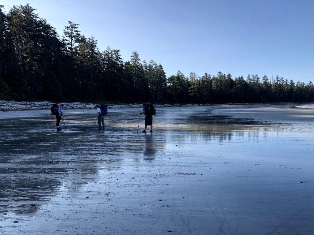
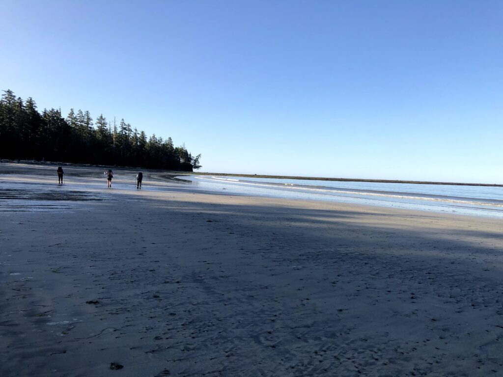
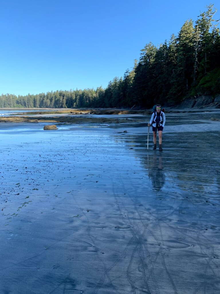
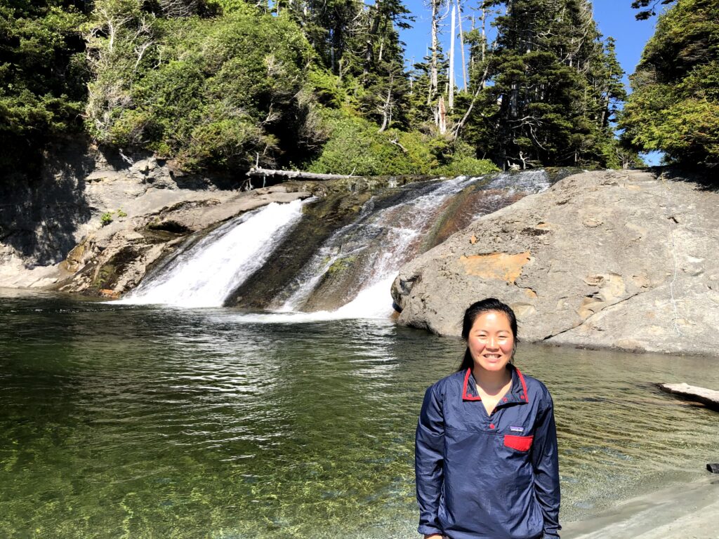
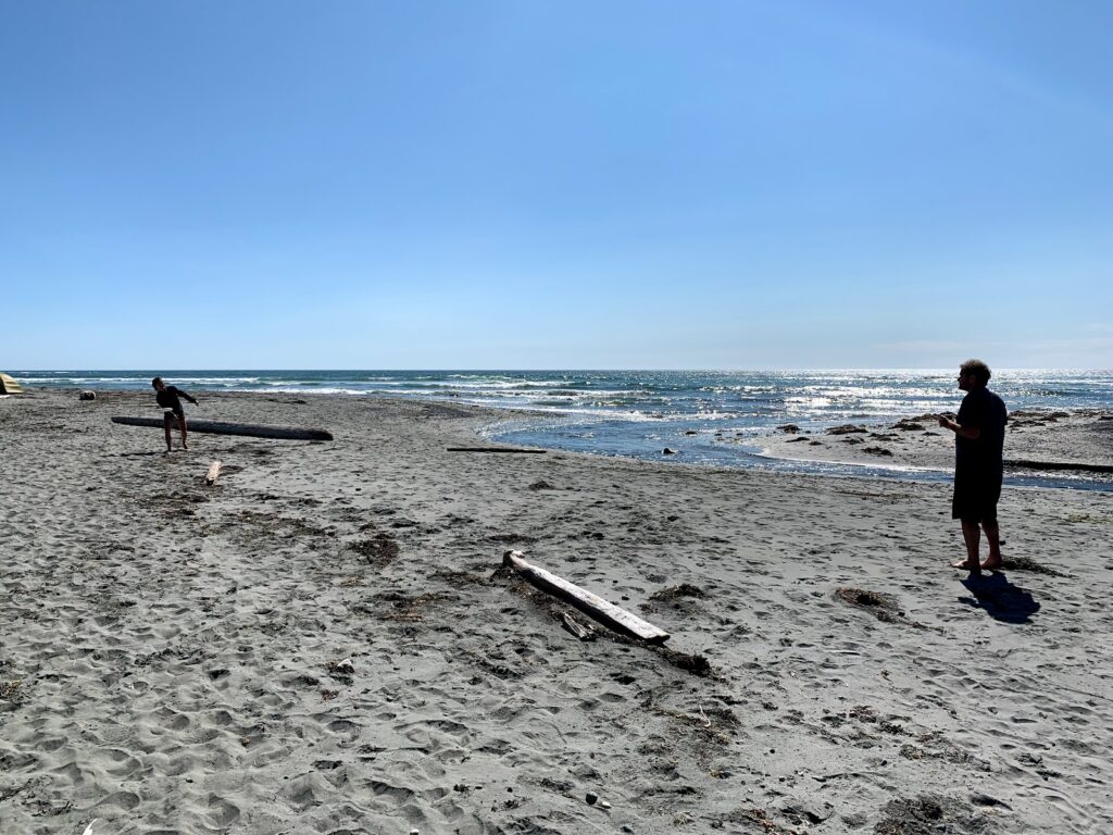
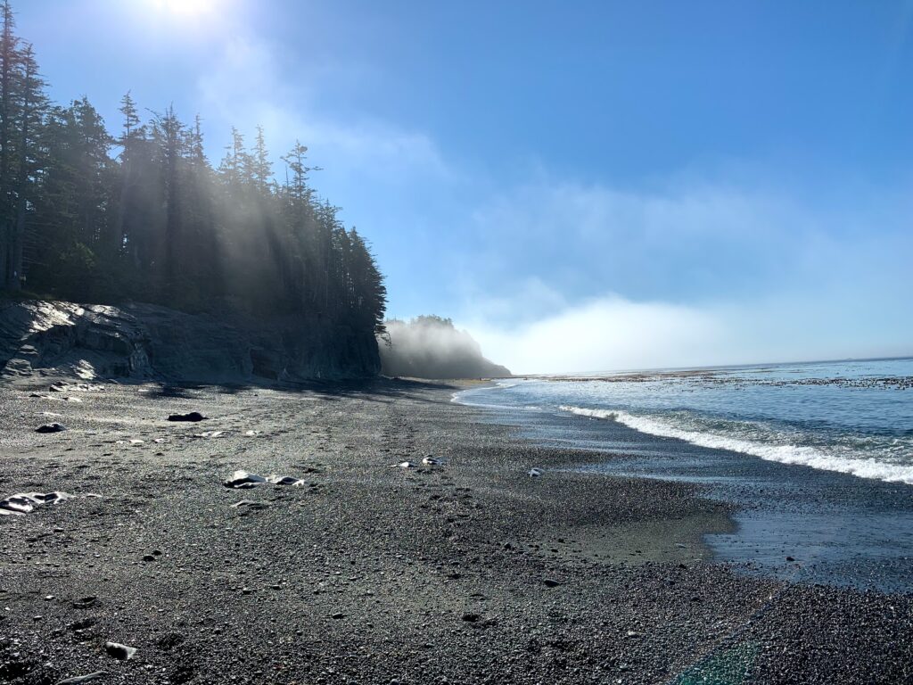
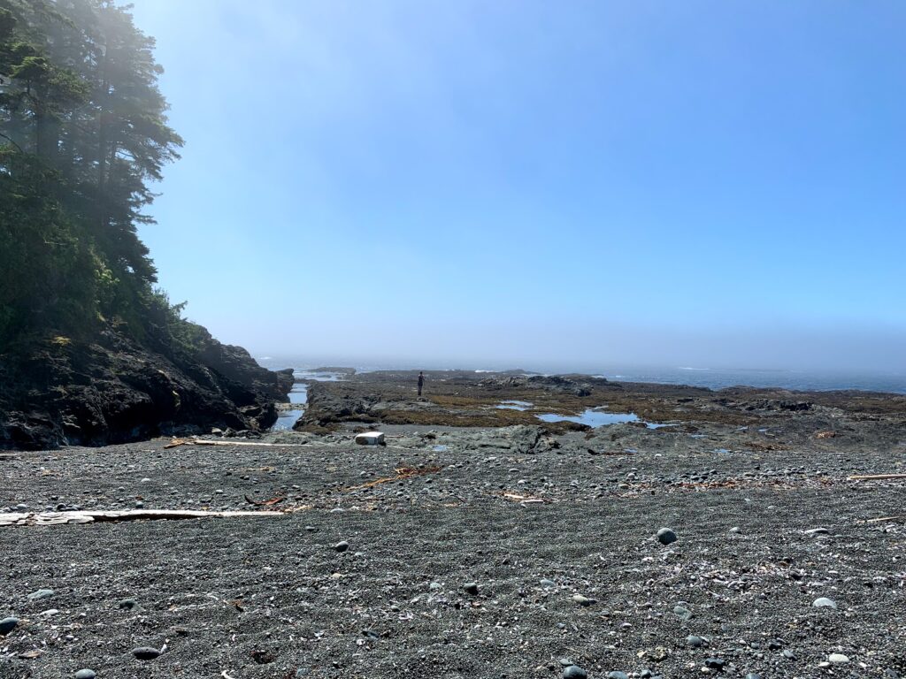
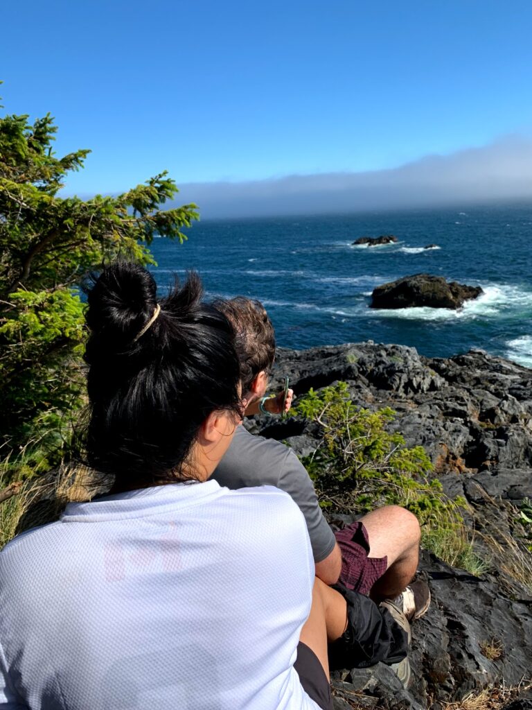
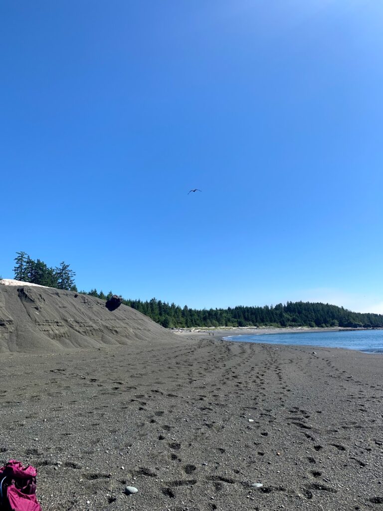
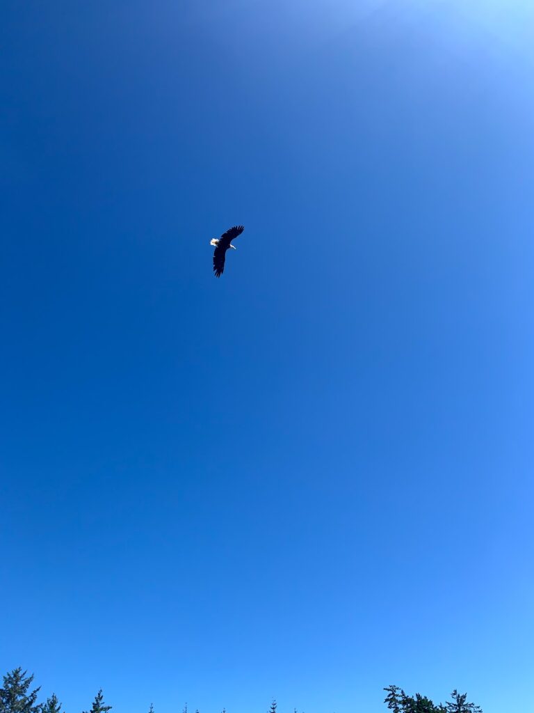
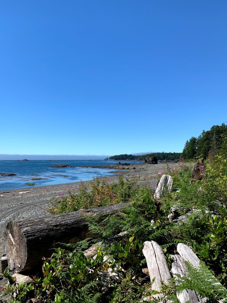
We set out early for our 45 min hike to our next and most beutiful destination. Calvin Falls. Since the tide was out in the morning we hiked across flat hard packed sand and was the first to arrive before the previous nights’ campers had set out for the day. We saw a lone wolf on his morning walk.
We spent the day building a wind protection shelter, playing in the ocean, falls, and filtering water from the falls. Blessed to have campmates with a Fast10L gravity filter.
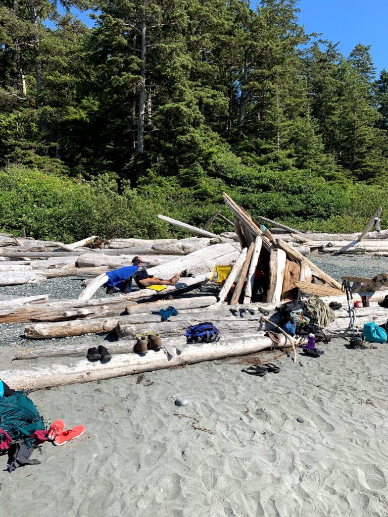
There was small abandoned fishing hut in the forest on the north side of the Falls with a hidden outhouse.
July 28 Calvin Falls to Beano Creek ~22.5
Low tide 8am to 1pm
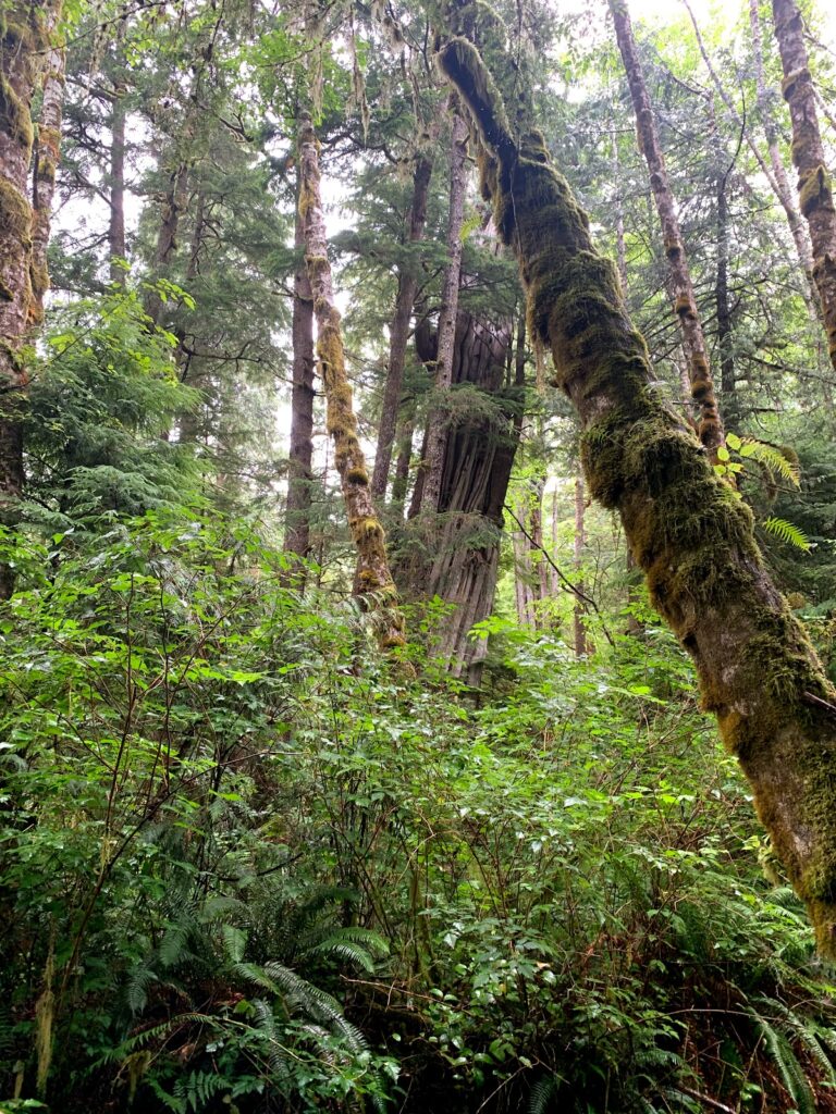
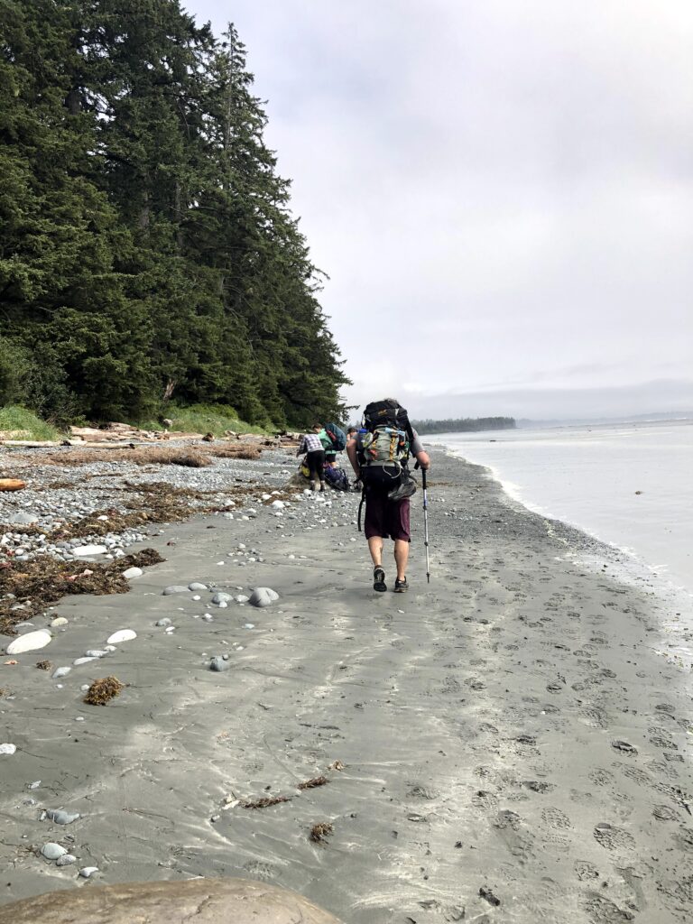
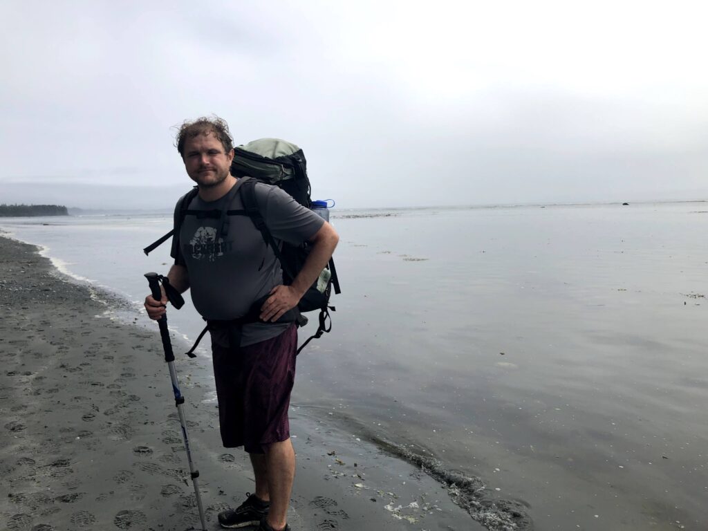
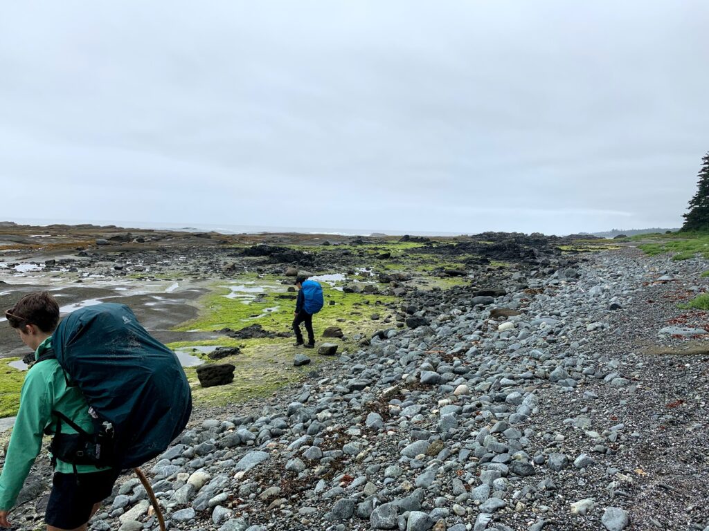
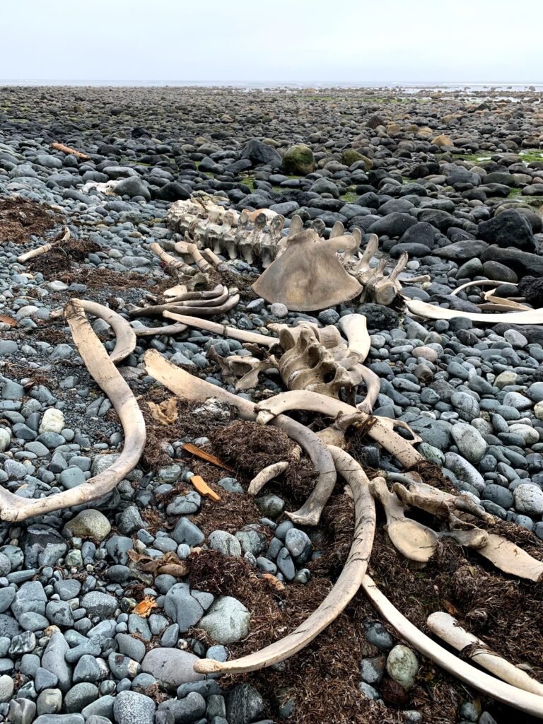
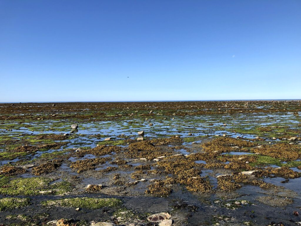
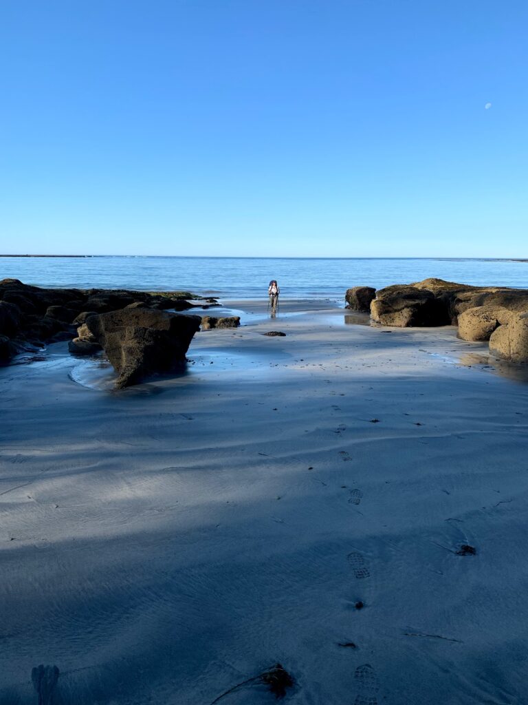
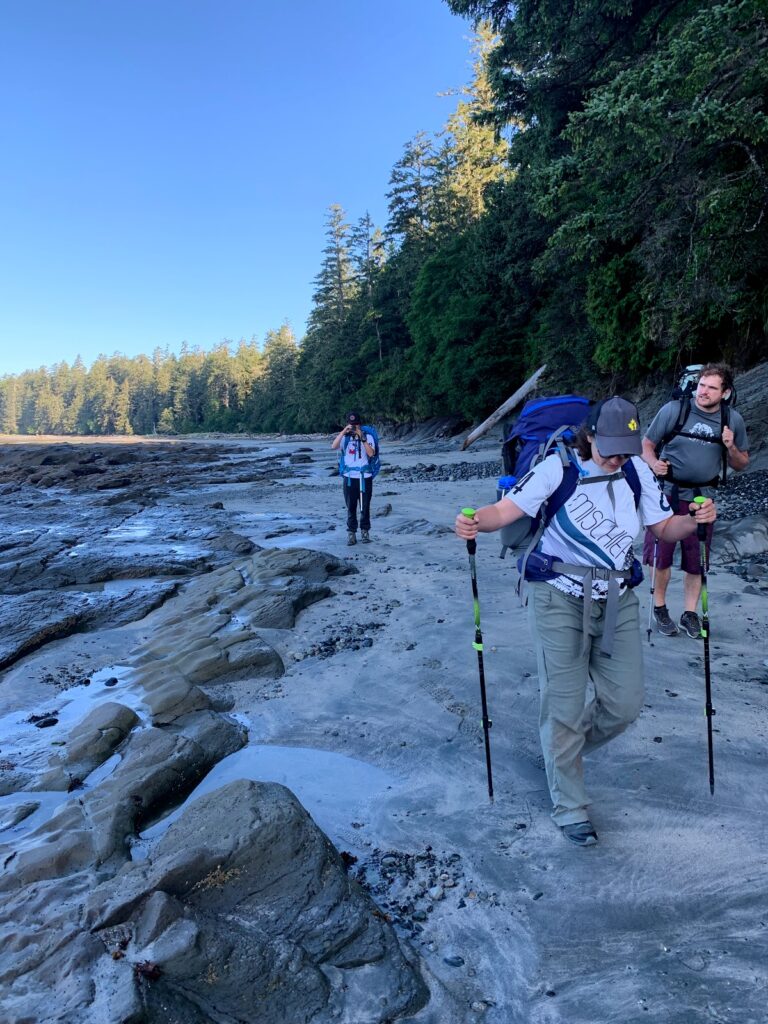
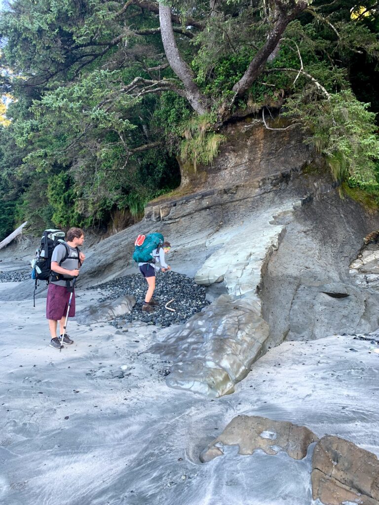
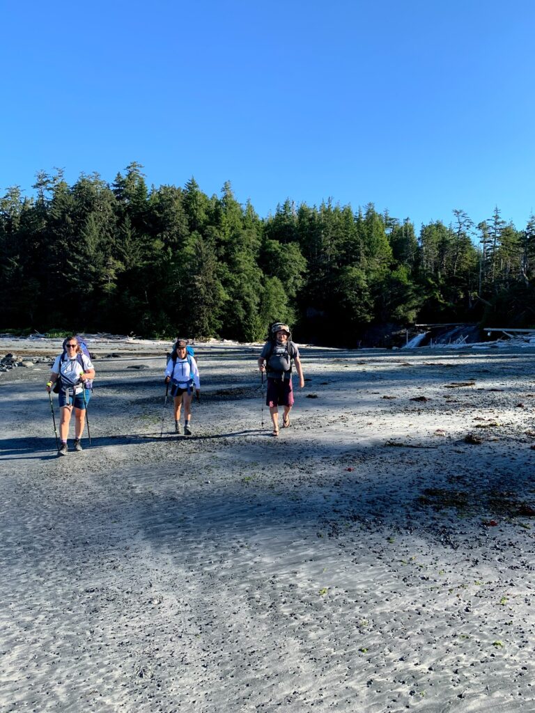
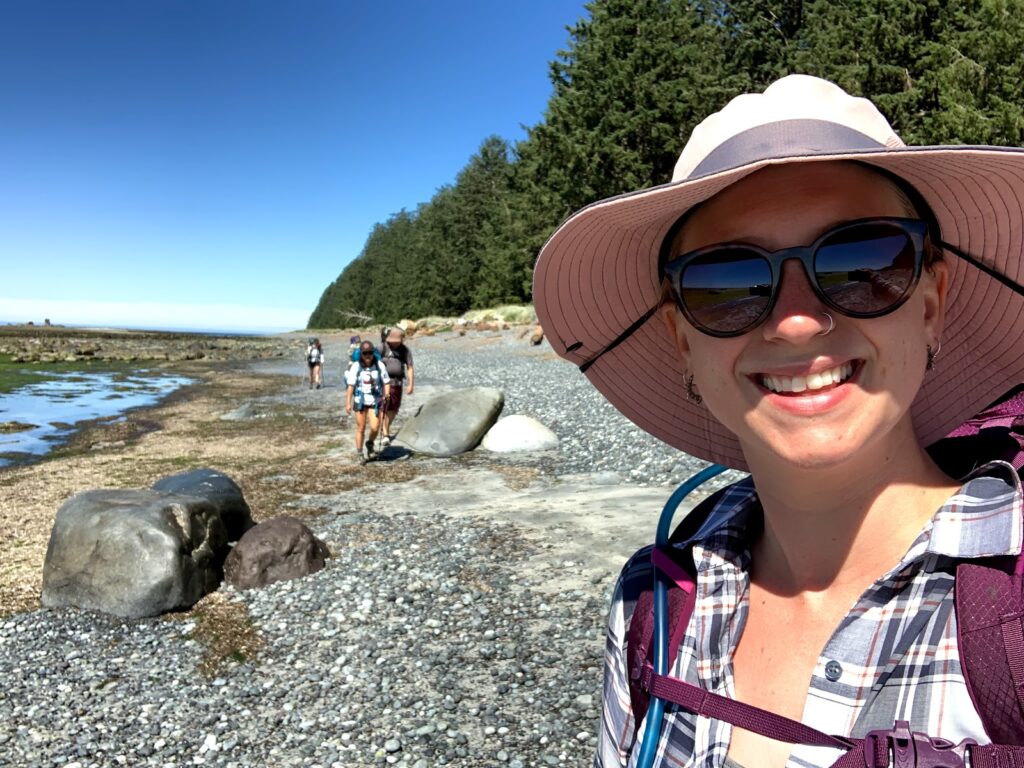
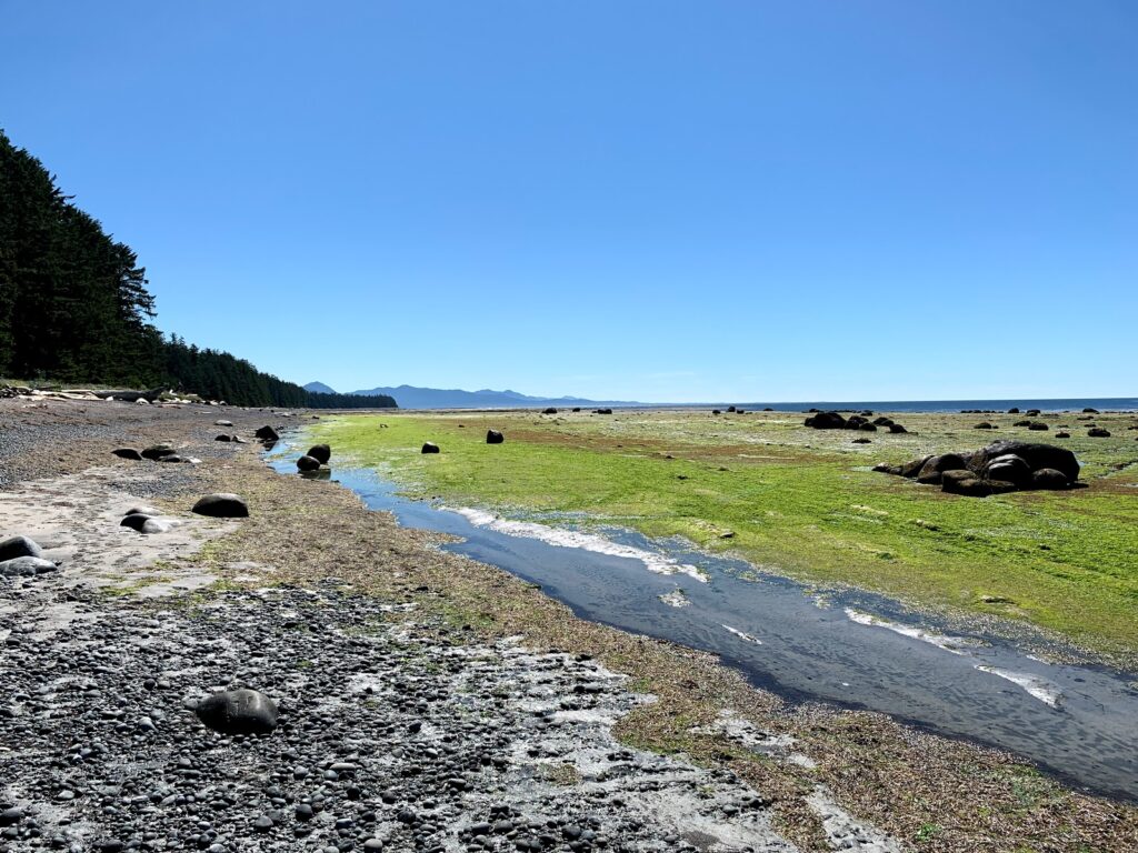
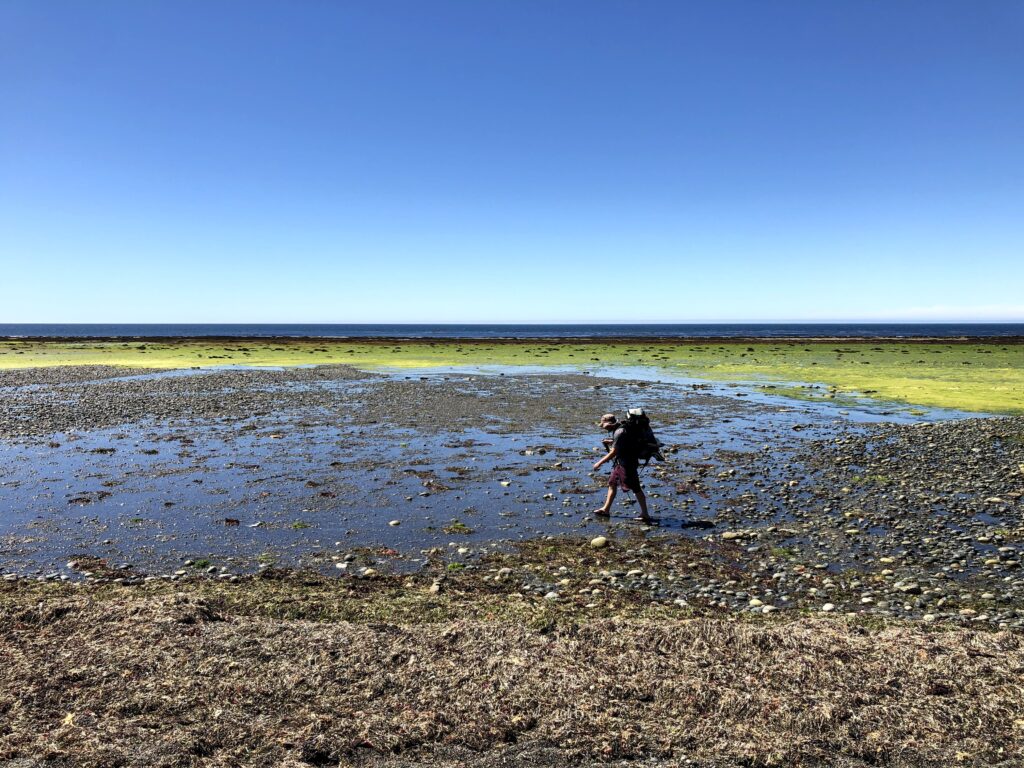
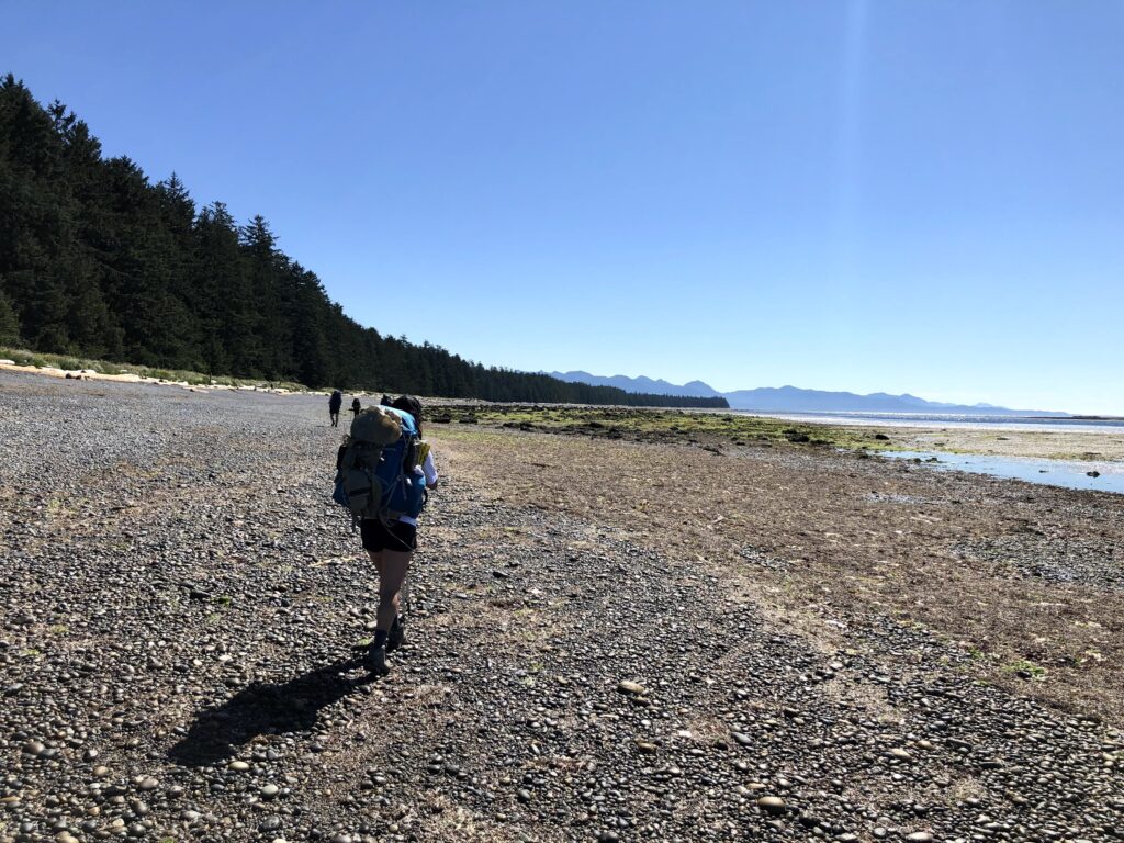
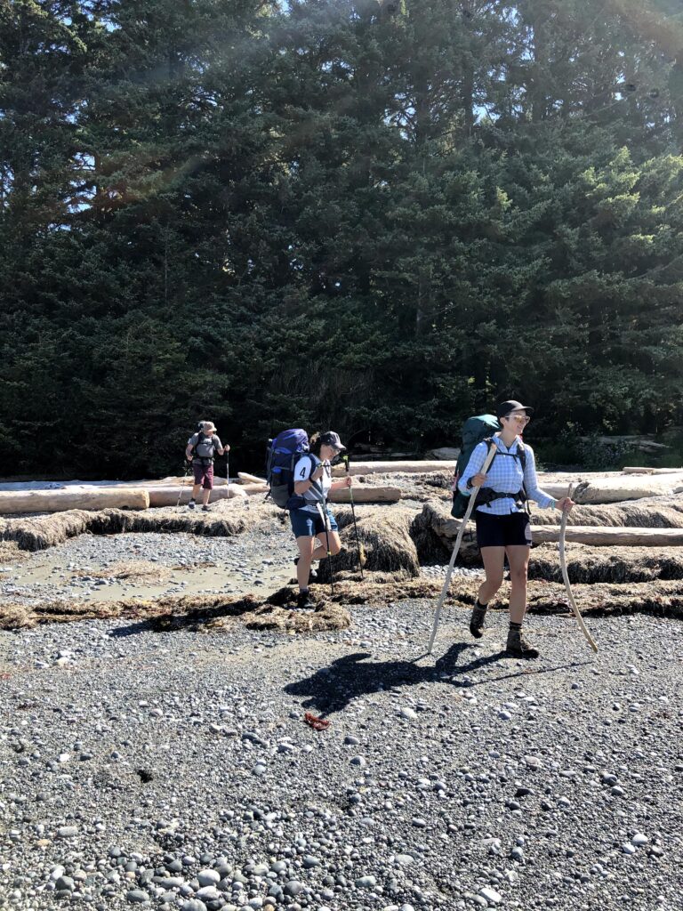
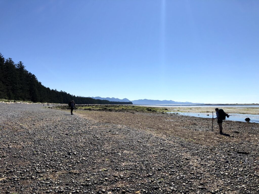
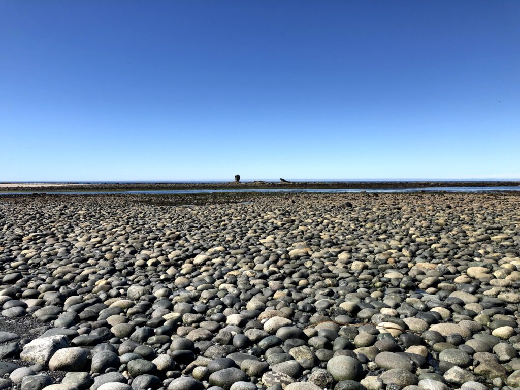
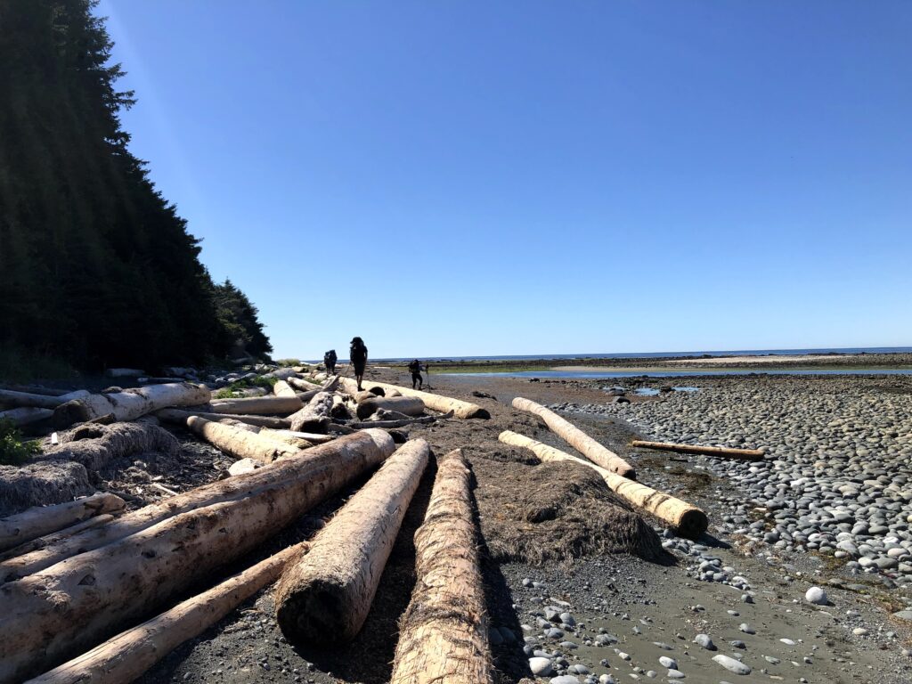
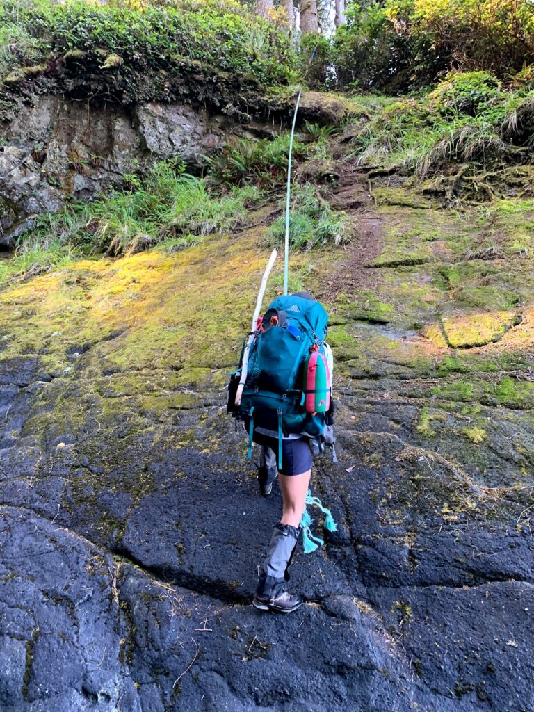
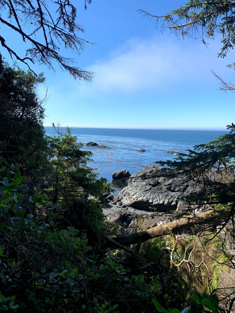
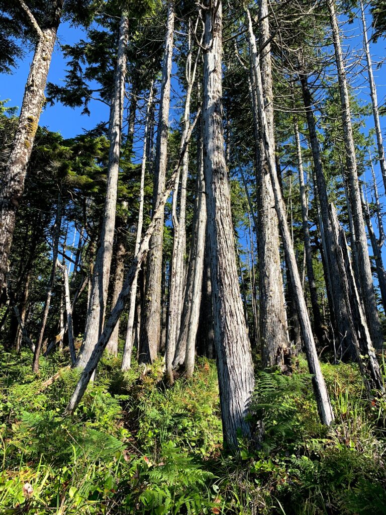
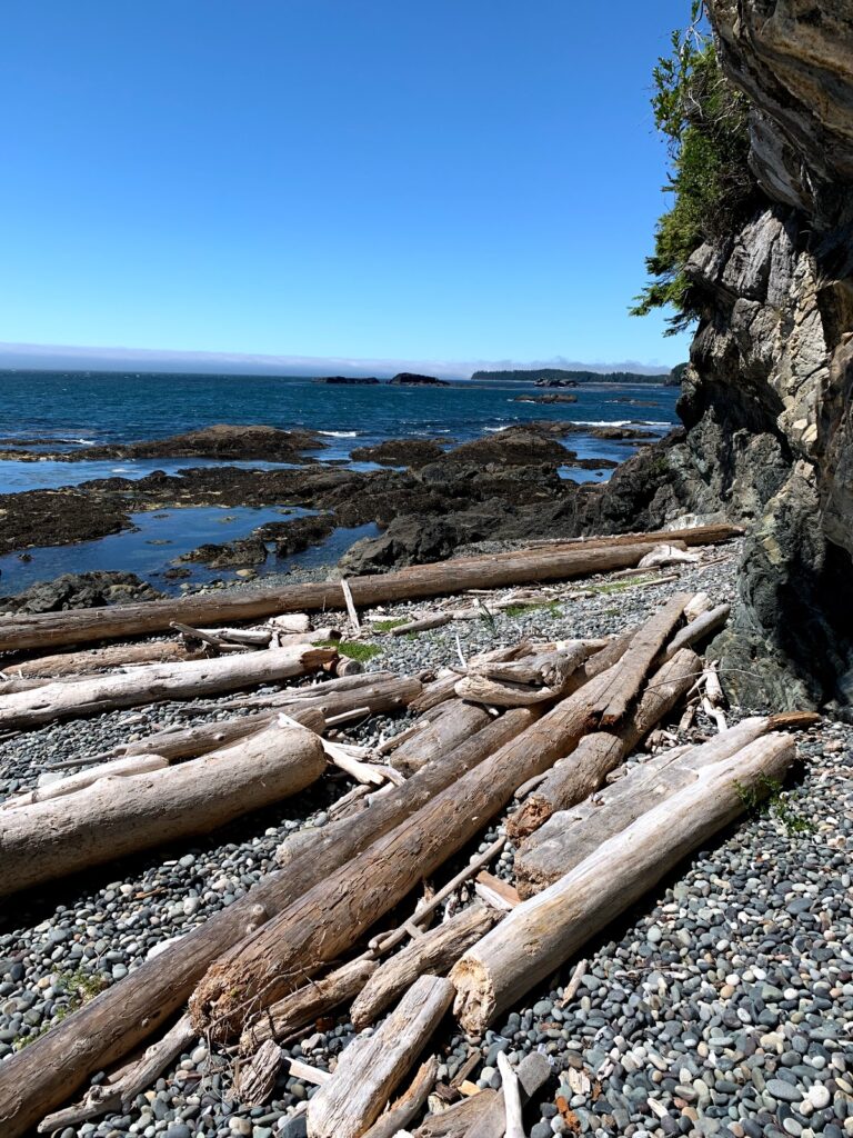
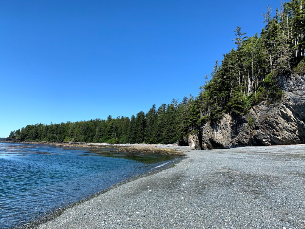
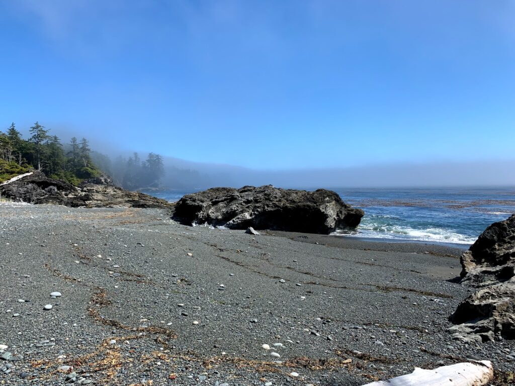
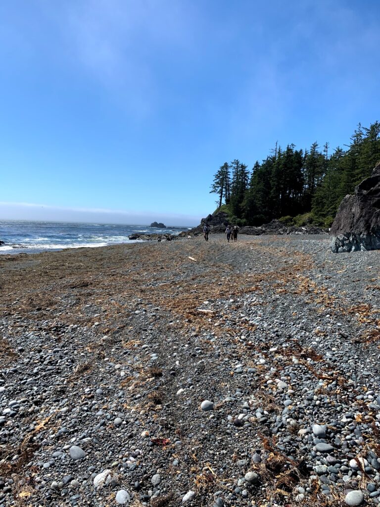
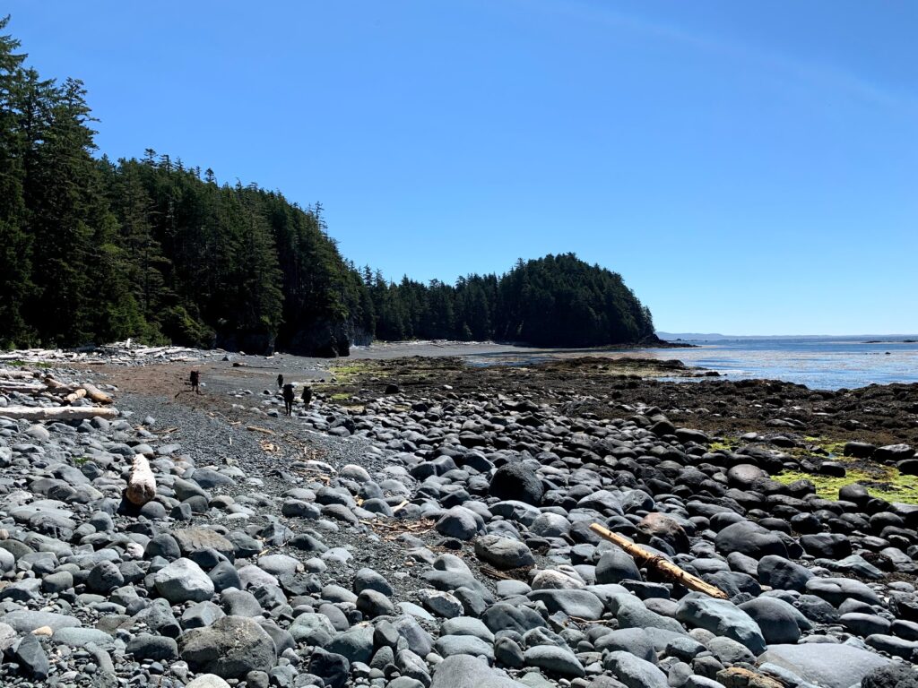
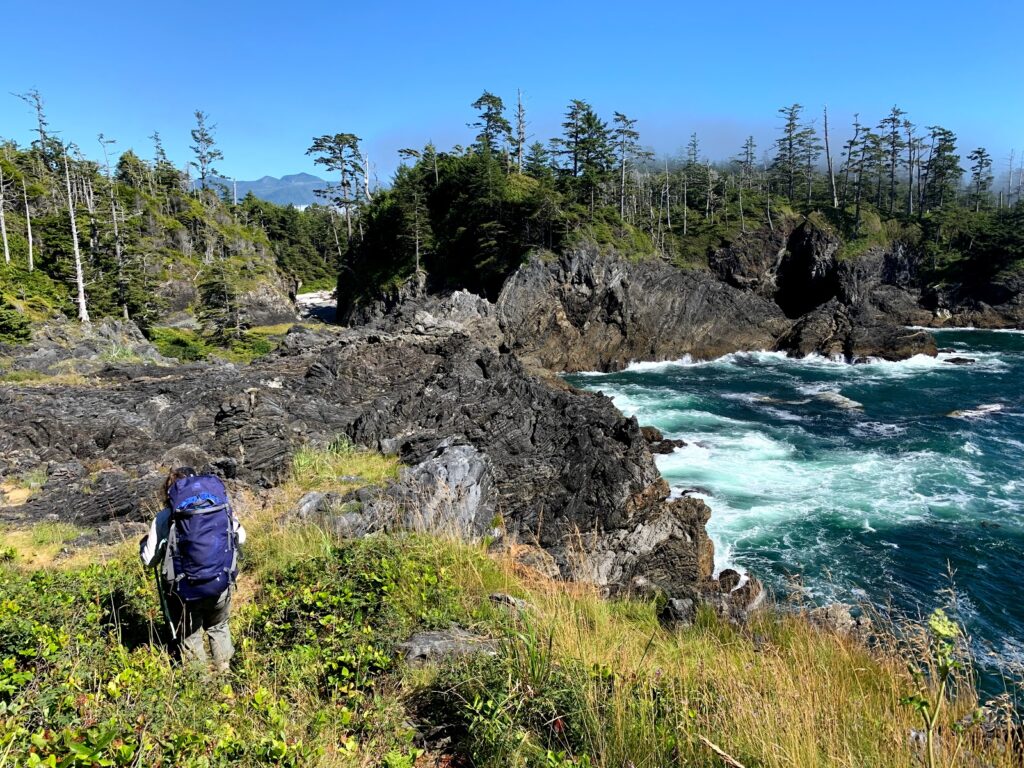
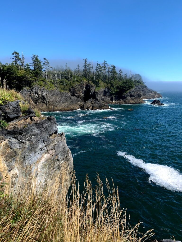
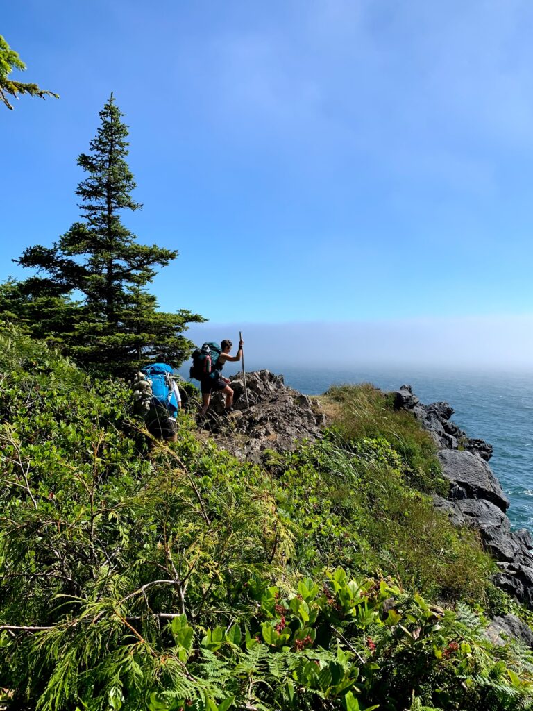
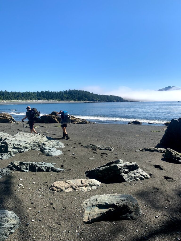
In the morning we set off to Beano Creek. Leaving Calvin falls we past Bajo Point where we found remanents of ancient village sites. Hiking here was along the slippery tidal shelf and pebble beaches. The pebble beaches took a lot of energy out of us as we kept sinking into them. Gaiters came in handy to prevent the pebbles from entering our hiking boots. Eventually the pebbles grew into boudler sized rocks! We found it easier to walk along the logs.
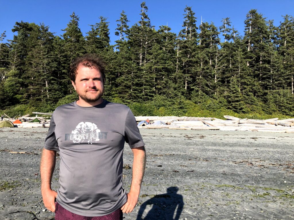
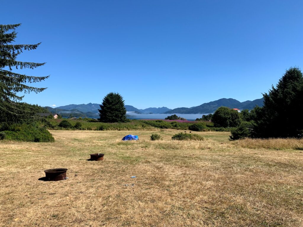
Once we reached Beano Creek we set up camp. This site had a great water source for drink and swimming in the creek. The campers on the beach we exposed to the gust of wind so we decided to camp closer to the creek and had some protection of the trees
There are privately owned cabins on the other side of the creek that had some party-goers.
July 29 Beano Creek to Sunrise Beach ~30km?
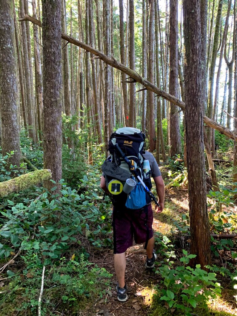
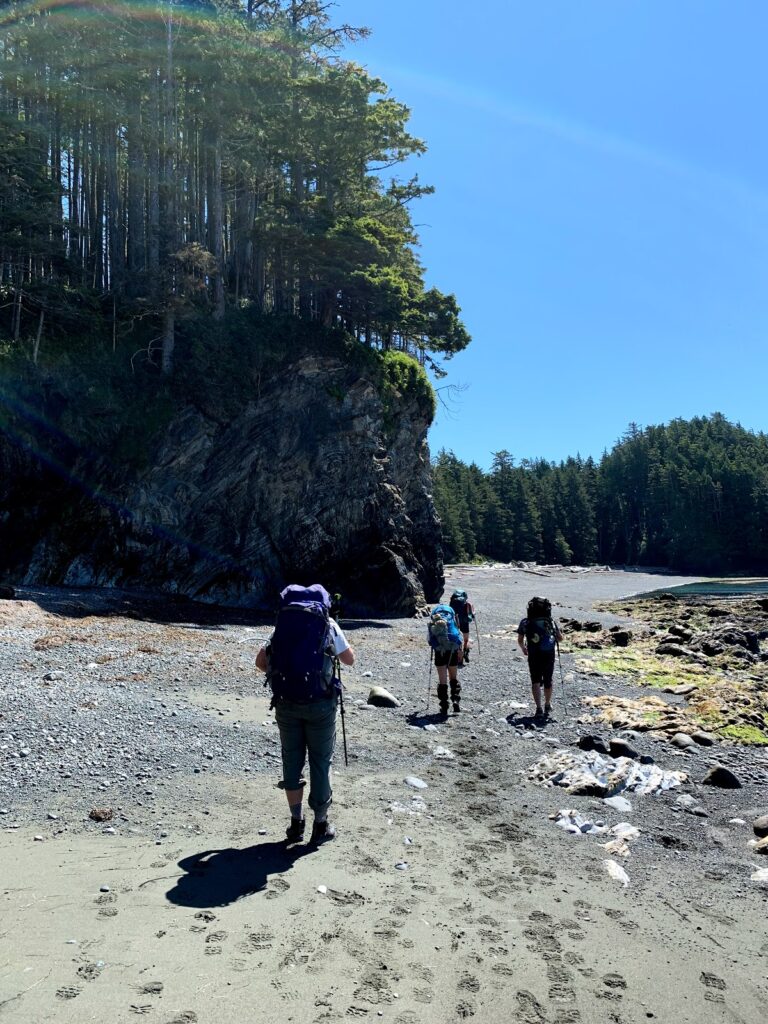
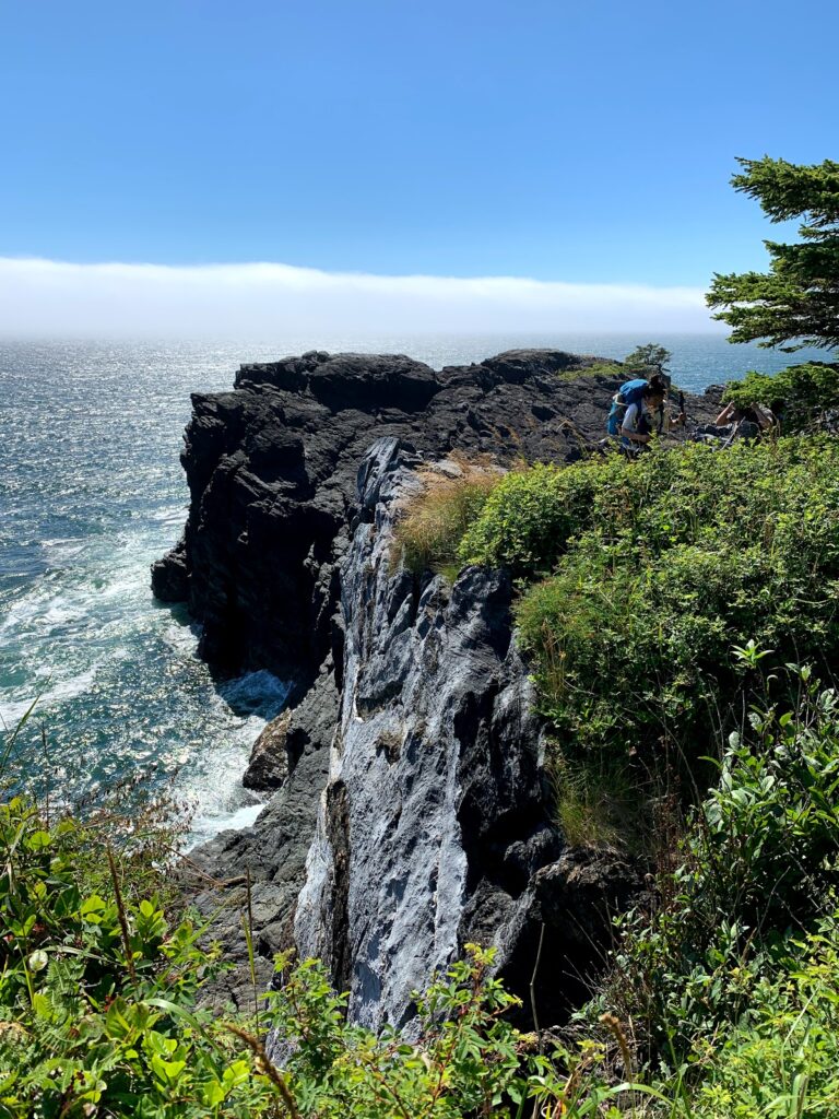
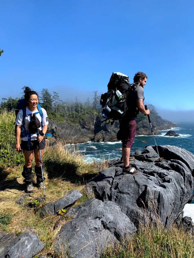
This was by far the longest and toughest day. We hiked five to six km of continuous headlands and discovered high sea cliffs and pocket beaches. There was a rope access 15m to climb up a gully through to the forest. We kept playing leapfrog with other hikers also in for this long hot day.
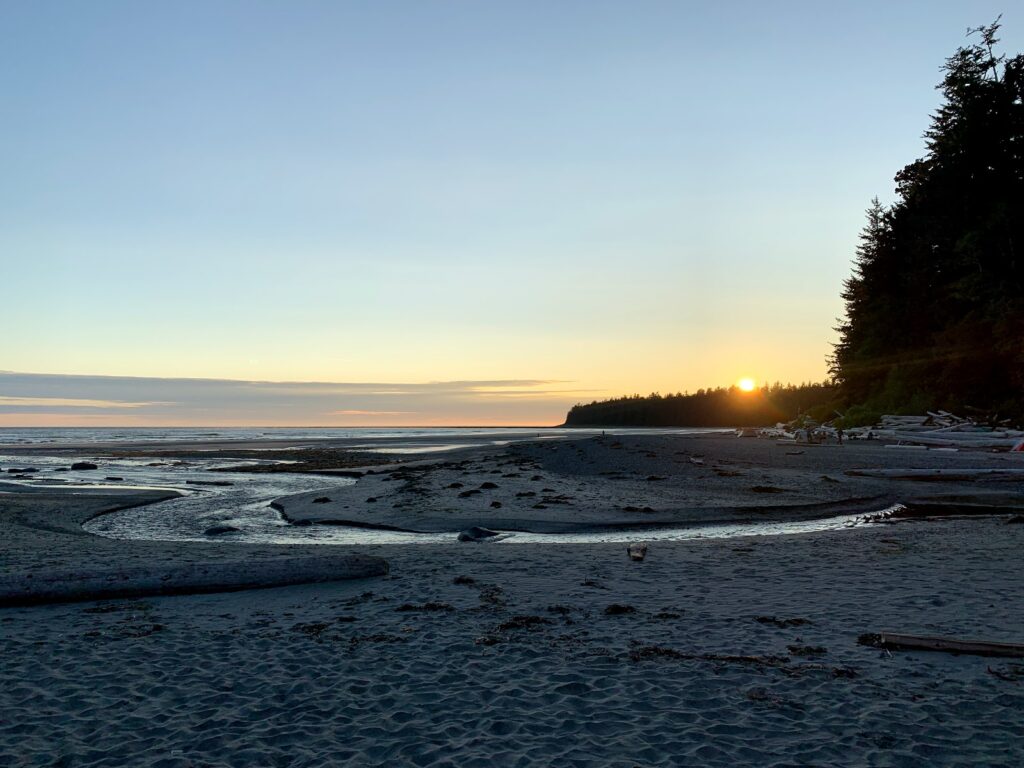
Once we arrived at Sunrise Beach we had time to see the sun set and it was off to bed. Many hikers already knew that there was a short hike to get fresh water. We had filled up water at Callicum Creek during lunch for the next two days.
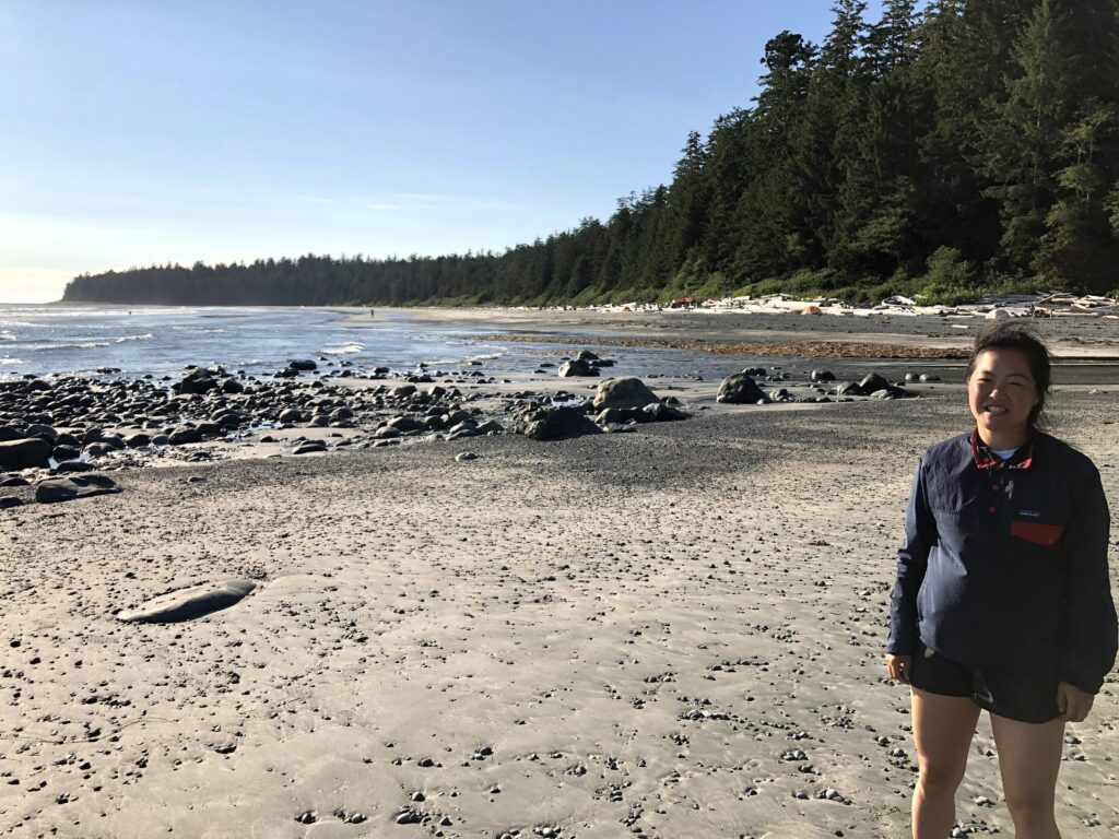
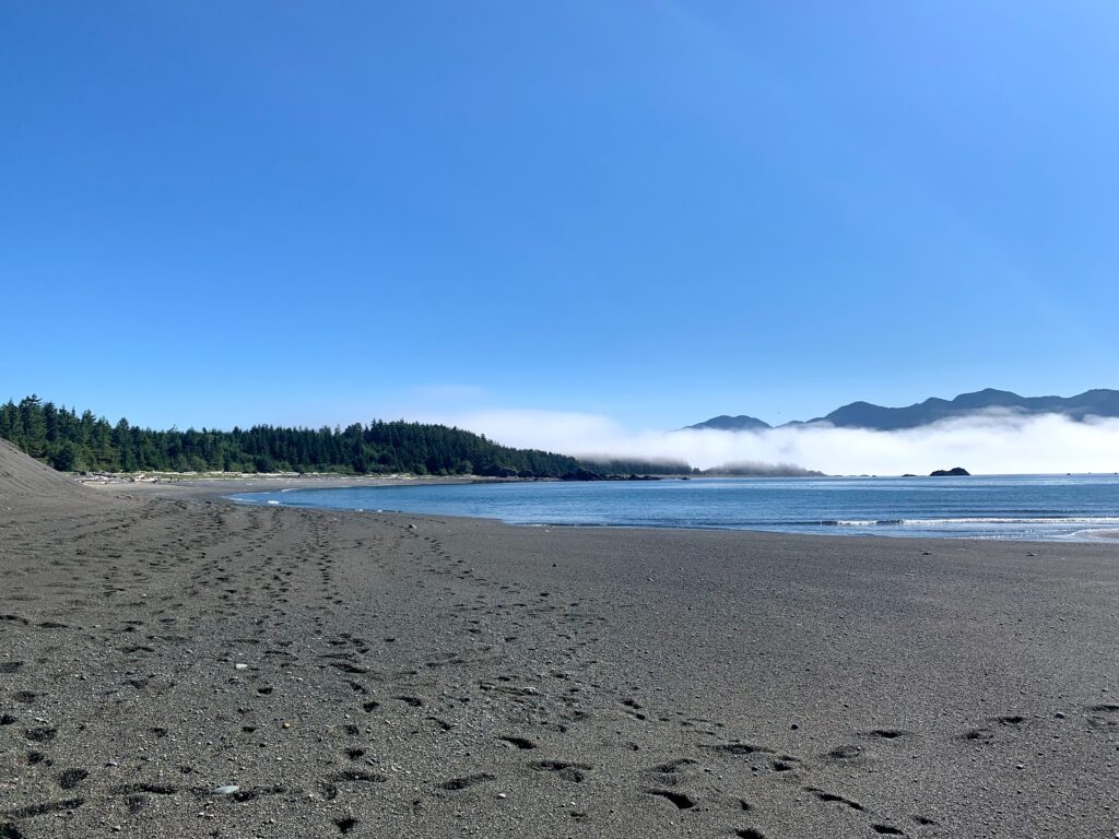
There were many mosquitos at Sunrise Beach and the beach was pebbly. However from here you can see the Yuqot lighthouse in the distance!
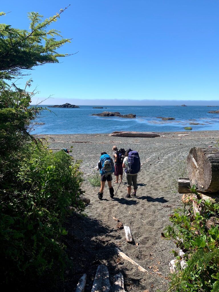
July 30 Sunrise Beach to Yuquot ~ 38km.
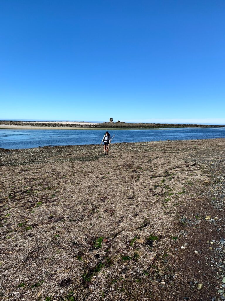
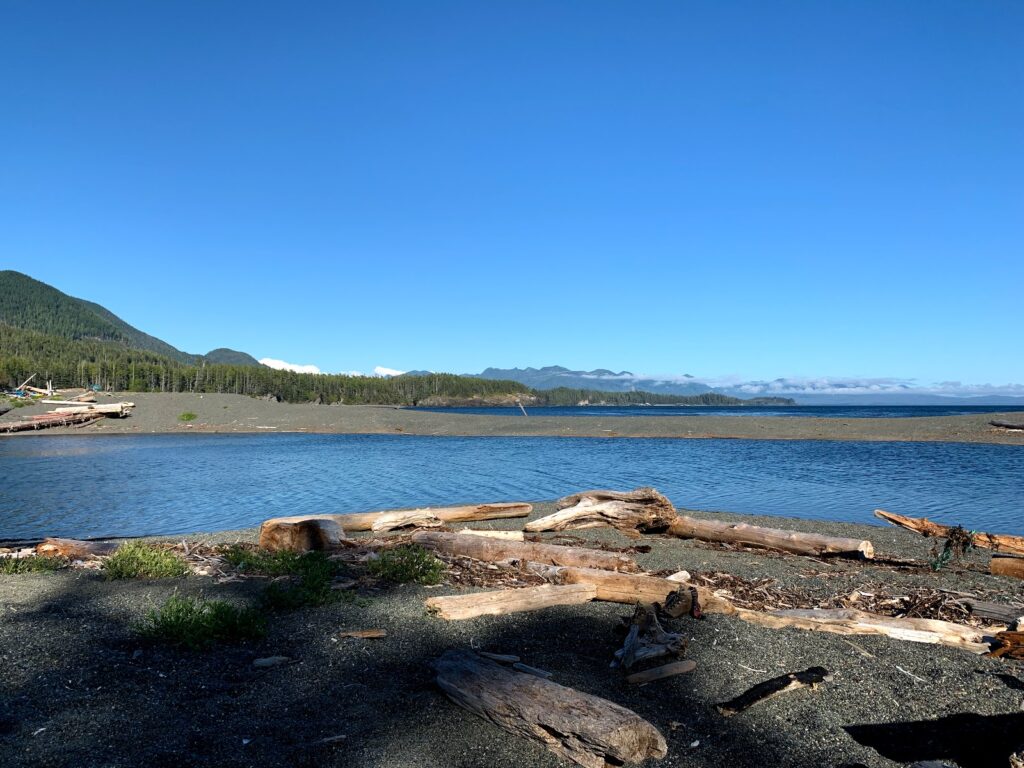
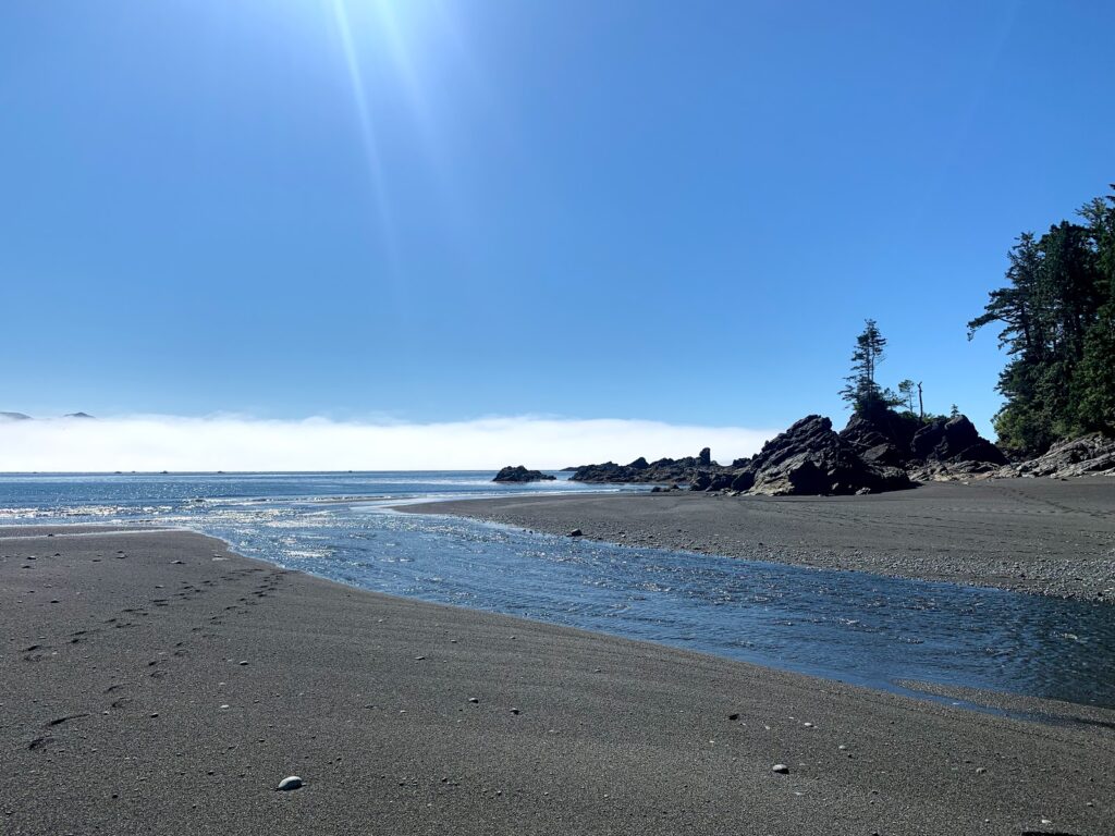
It was easy hiking to Yuquot compared to the previous day. There was a Tidal lagoon at the 32.5 km that we had to cross by removing our shoes. It would not be passable at high tide. The lagoon would have also been a great place to camp with soft sandy beaches however as we discovered the lagoon had no fresh water.
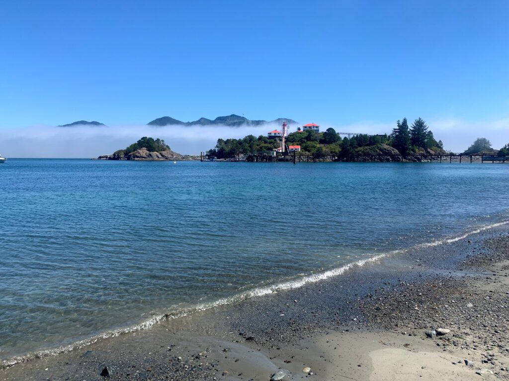
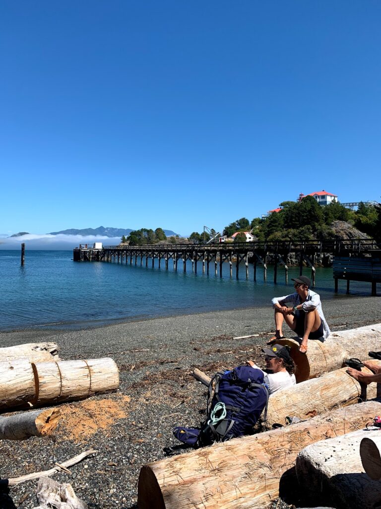
Continuing on to Yuquot we spent the rest of the morning following the shore and a trail just in from the shore all the way to the Village of Yuquot, Friendly Cove.
We learned that the reason why so many people had the same itinerary as us was because the MV Uchuck boat picks up hikers every friday in Yuquot (same place where we were getting our float plane).
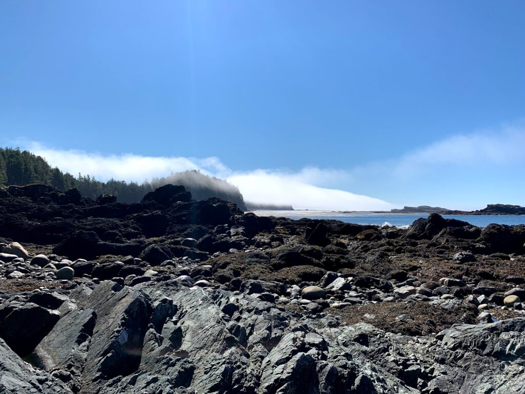
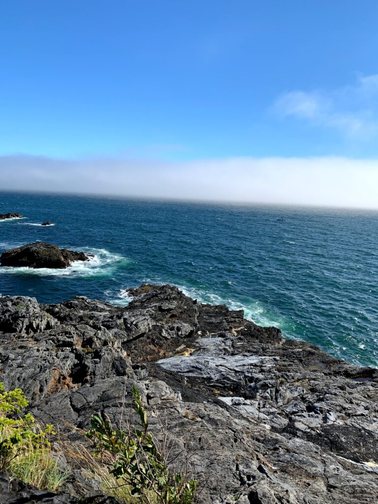
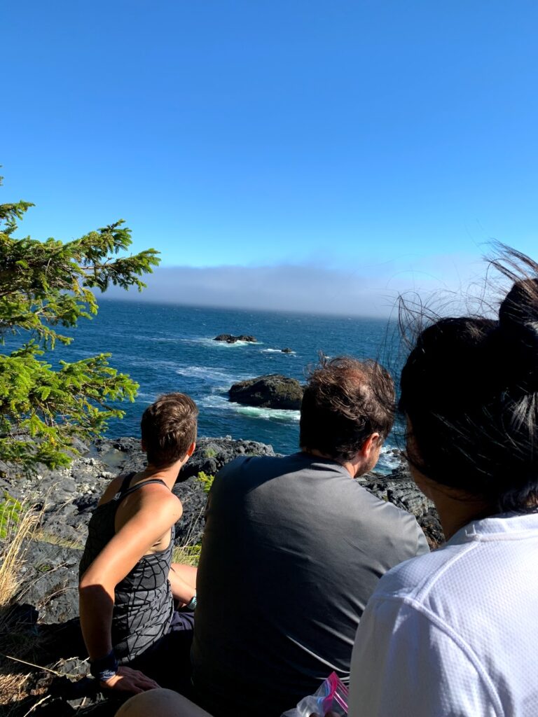
Due to the thick August Fog (#Fogust) there was a delay in our schedule and we barely caught the last ferry ride back to Vancouver.
- No outhouses as this is not a BC park, practice leave-no-trace camping
Check list
Tidal Crossings
| TIDE Skuna Bay East | 10 km |
| TIDE Calvin Creek | 12.5 km |
| TIDE Beano Creek | 22.5 km |
| TIDE Beano Bay East | 24 km |
| TIDE Tsa’tsil Lagoon | 32.5 km |
Tide Times
| July 27 | 7 am to noon |
| July 28 | 8 am to 1 pm |
| July 29 | 9 am to 1 pm |
| July 30 | 10 am to 1pm |
Recent Comments